
This was a circular walk from Harlington, NE to Greenfield, SE to Pulloxhill, then SW to Harlington.
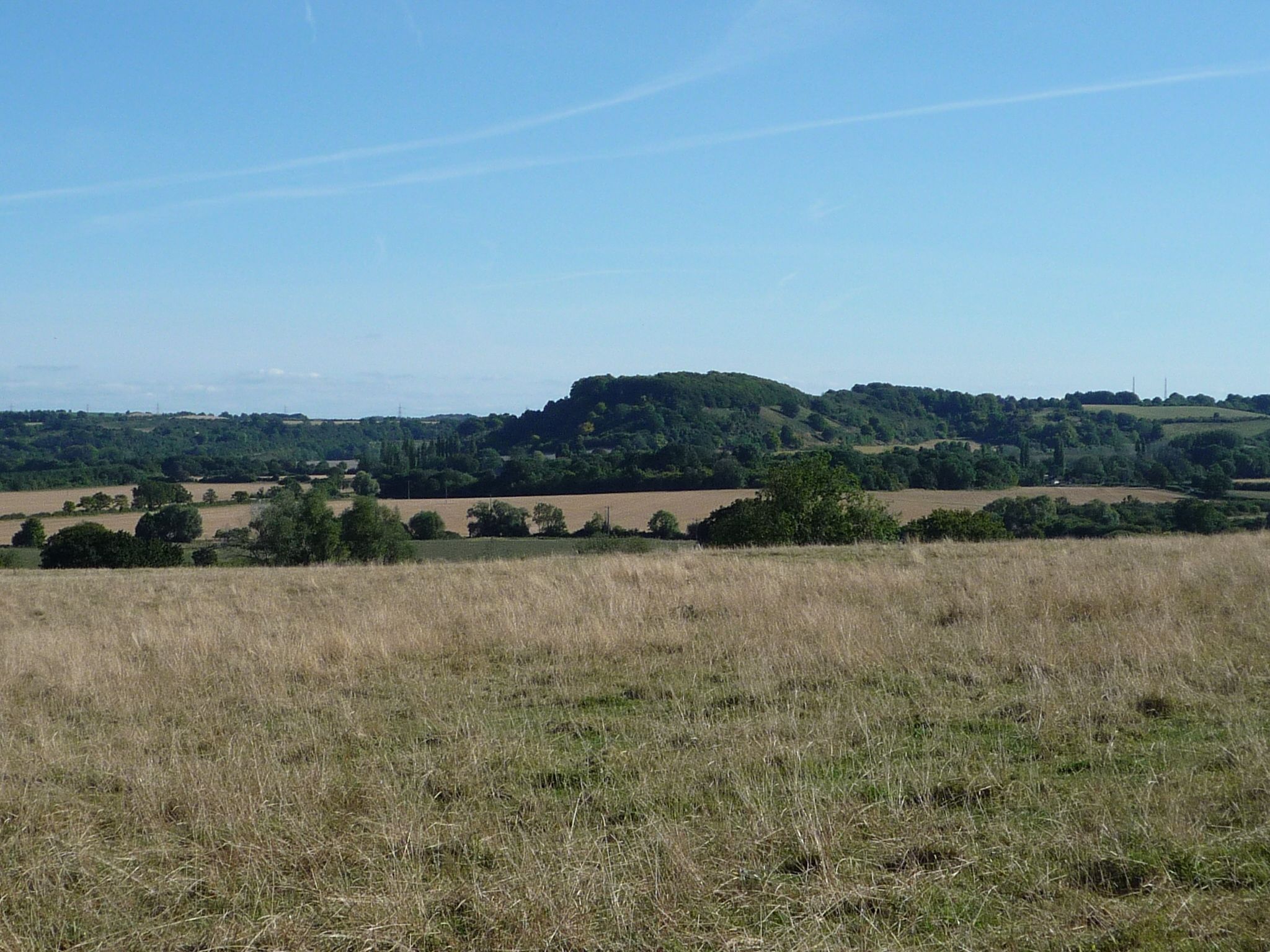
The objective of this walk was to enjoy the middle-distance views from a ridge running SW from Pulloxhill to Harlington, eastbound to Barton-le-Clay and the Sharpenhoe Clappers. The weather gave us murky skies, greying out the view to a classic autumnal low contrast and soft-focus.
The usual stats:
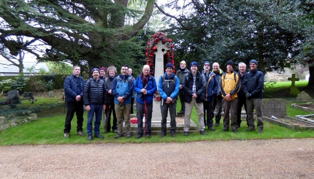
- Event led by Martin T.
- Attendance: 17 men.
- Distance: 8.49 miles (13.7 km).
- Altitude per GPS: low 436ft (132.9m), high 597ft (182m), climb 321ft (97.8m), descent 285ft (86.9m).
- Time: start 11:21, end 15:42 (sunset 16:16), lunch 30 minutes, other breaks 7 minutes.
- Speed: moving arithmetic average 2.28mph (3.7kph).
- Terrain: pavement, meadow, field, field edge, track, woodland track on highway, footpath and bridleway, including the John Bunyan Trail.
- Weather: good for walking, typically autumnal, heavily overcast, murky distant views, challenging grey contrast after lunchtime, quickly darkening, temperature range between 7°C and 8°C, northerly wind 2mph (3.2kph).
- Number of sewage works: 0.
- Number of churches: 2.
- Number of golf courses: 0.
Churches:
- St Mary the Virgin church, Harlington, a grade I listed building, own website. On this walk, we walked past the church without stopping.
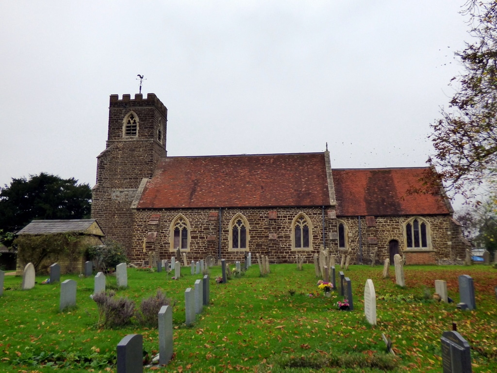
- St James the Apostle church, Pulloxhill, a grade II* listed building, directory listing, own services’ website.
- The church exemplifies the classic Bedfordshire style of church, walls comprising of coursed ironstone rubble with ashlar dressings, a brown brick-like pattern with lighter mortar.
- Seemingly outside the scope of the listing is the external light to the porch. It looks like somebody improvised a repair. The lantern appeared to have been a repurposed former large jar of Kenco coffee, c 1990s.
- To the rear of the church was a pleasant view point and an interpretation board.
- the building opposite the church, notable for the heavy condensation inside on its windows, is the Grange, a grade II listed building.
- as the route continued, walkers noticed the old rectory farmhouse, itself a grade II listed building.
Other points of interest:
- Coffee stop. Shortly after starting the walk, we stopped for takeaway coffee at the local corner shop and coffee shop.
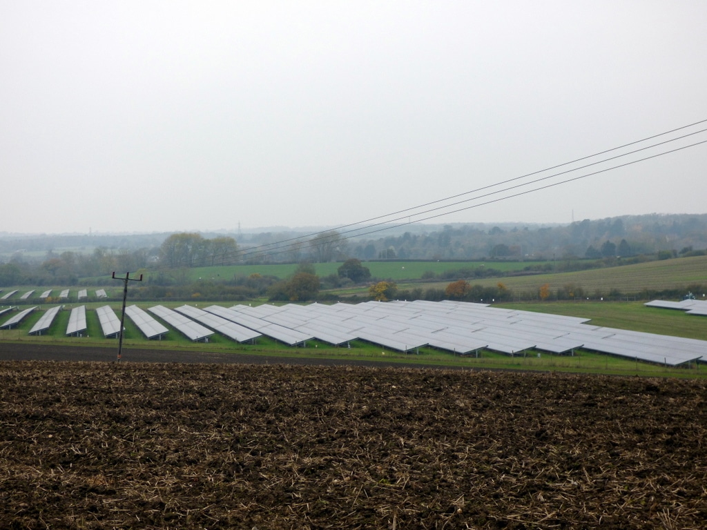
- Clayhill Farm, Westoning, features a sizeable solar farm. It turns out that this solar farm, built in 2017 and went-live on 10Jan2019, was to be the first subsidy-free solar farm (article, article). It is a 10MW solar plant, has 6 MW battery storage and has 1500V inverters. EnergyMap entry. To get to the solar farm, we had to walk over a field of some sort of long-abandoned, self-sown brassica crop
- The suburban village of Greenfield boasted an eclectic mix of buildings, a combination ranging from ancient Tudor cottages to the modern mini-”Grand Designs”, lumped together as ribbon development along one road. There was one pub, which was closed for the day.
- On the return leg to the start point, the route encountered a small, short hill. The hill was deceptive: the angle of ascent steepened as the elevation rose, which was not visible to walkers at the bottom of the hill. This triggered unexpected effort in the cardiovascular area. And the effects of the morning coffee had run out.
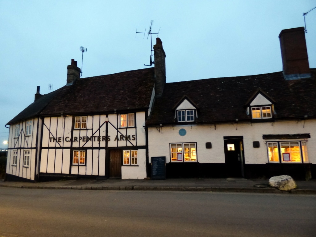
Ten members joined the optional pub stop at the Carpenters Arms, Harlington. Member of CAMRA as at Nov2024.
For more pictures, see https://bit.ly/GOCHarlingtonMorePics.


Words by Martin Thornhill. Pictures by Peter O’Connor.