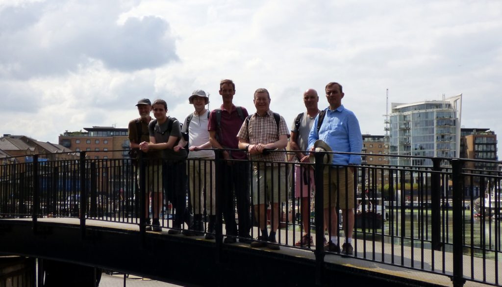

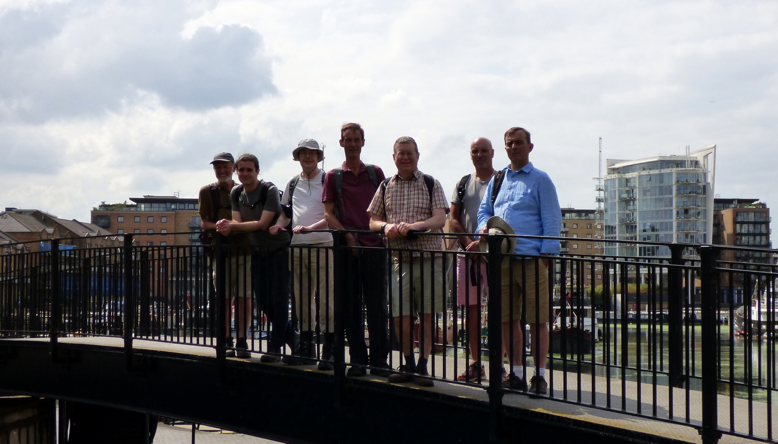
Event led by Andy H
Attendance: 9, of whom 1 new member
Distance: 14.8 miles (23.8 km)
Time: start 11:24, end 17:35, lunch 35 minutes
Terrain: towpath, pavement
Elevation: start 8m, high 41m, low 2m
Weather: overcast with some sunny intervals, ~23°C, cool breeze, clear visibility.
Number of sewage works: 0
Number of churches: 1
Number of golf courses: 0
Number of Waitrose branches: 1
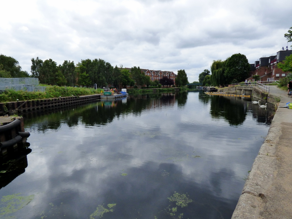
This was a point-to-point walk of 15 miles from Tottenham Hale railway station, S along the River Lee Navigation towpath, SW via the Limehouse Cut into the Limehouse Basin, then NW and W along the Regent’s Canal to King’s Cross railway station.
This walk was almost entirely towpath, with two short diversions: one to bypass the Islington Tunnel (which has no towpath) and another to bypass a temporary closure of the towpath for repairs. The temporary by-pass took us onto the A13.
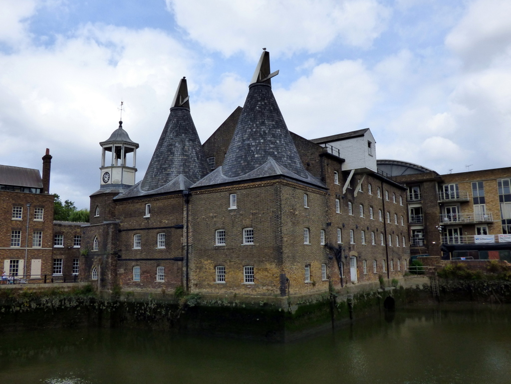
The route had four distinct flavours. The Lee Navigation was the first flavour. The Lee courses its way through parts of London which are marshland, or were formerly industrial. Towards the end of the Lee, approaching the Limehouse Cut, there are the Three Mills. The Limehouse Cut was the second flavour, being mainly current industrial and some commercial properties, progressively grimy as we progressed down the Cut. The Limehouse Basin was the third flavour, comprising modern, high-density housing developments, with striking and strangely attractive architecture. The Regent’s Canal was the fourth flavour. The Regent’s Canal features older buildings, with various densities of land use, and a very busy urban towpath. From Islington onwards, the busy urban environment dominates, culminating in the deconstructed tourist-driven chaos at King’s Cross.
Most of the route along the Lee proved once again that London really can be quite a quiet place, a clean place and rather green. Aside from the occasional background whine of an aircraft, or a passing cyclist broadcasting some sort of über-left anarcho-punk music from his rucksack, not even the dull growl of road traffic was noticeably discernable at points of the walk. This makes sense: the towpath is often surrounded by either buildings or trees - often both - which block out the sound from its source (the road surface). The proof was offered in the form of the diversion from the towpath under repair to the A13, which offers all the noise, dirt, grime, chaos and negative karma anyone could ever want.
Although London might be quiet, the Regent’s Canal towpath was an elongated Piccadilly Circus. The Regent’s Canal is right in the thick of tourist London. Walkers of all speeds, and cyclists travelling at insane speeds, in both directions made the walk similar to a day in the London Underground. The volume of “traffic” make a viable market for coffee shops, cafés and bars. A similar niche commercialisation appears to have started on the Lee Navigation alongside the Olympic Park, where we indulged in superbly-flavoured ice cream cones.
While at the Olympic Park, we took a short break from the towpath, resulting in a brief walk around the Olympic Stadium, now the home of Wet Spam United Football Club.
A debate ensued about how to spell Lee. Or Lea. Or when to use “Lee” or “Lea”. It turns out that official signs, which appeared regularly on the route, themselves could not agree. “Lee” and “Lea” appeared in print interchangeably and inconsistently. This rendered the old rule of “Lee Vallee” somewhat obsolete.
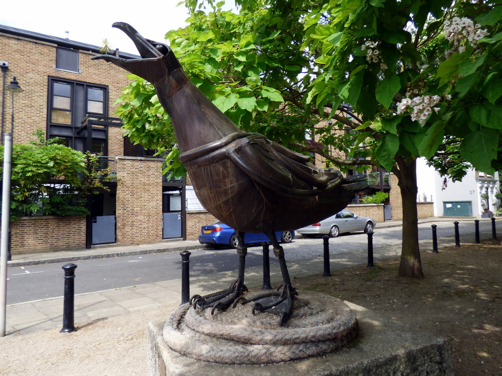
We had lunch on a patch of gravel, underneath trees, on benches on Narrow Street, just outside Ropemakers Fields. Narrow Street offered a beautiful example of early Georgian terraced architecture, which had been derelict until some of the Cambridge set restored it in 1964. The lunch point boasted a work of public art, Herring Gull by Jane Ackroyd, 1994. The pub The Grapes looked enticing. A short diversion from the lunch spot took us to Limekiln Dock, at which is a wide panoramic view of the Thames, south towards Greenwich and west towards the City (Shard, Walkie Talkie, Gherkin, Cheesegrater and all the rest).
The end point at Kings Cross is more accurately named Battle Bridge Place and Kings Boulevard, part of a large development of Kings Cross Central. As with our prior visit a few years ago, we saw that the area was amazingly busy. It seems that this area has become a tourist spot all of its own.
We ended our walk with a drink in the air-conditioned The Parcel Yard, a Fuller’s pub above Kings Cross platforms 9-11.


Words by Martin Thornhill. Pictures by Peter O’Connor.