- Event led by Andy H.
- Attendance: 24 people at the start, 21 people at the end.
- Distance: 10.1 miles (16.2 km).
- Altitude per GPS: low 321ft (98m), high 561ft (171m), climb 377ft (115m), descent 511ft (156m), start 561ft (171m).
- Time: start 11:09, end 16:01 (sunset 16:16), lunch 29 minutes, other breaks included in walk-time.
- Speed: moving arithmetic average 2.30 mph (3.7 kph).
- Terrain: pavement, urban track on footpath and highway.
- Weather: dry overcast, range between 4°C and 5°C, max 5mph westerly wind.
- Number of sewage works: 0.
- Number of churches: 0.
- Number of golf courses: strictly 0, pass-by 2.
- Number of Waitroses: 0.
This walk was a linear route from High Barnet to Alexandra Palace, S from High Barnet alongside Dollis Brook to Finchley, then E partially alongside Mutton Brook towards Alexandra Palace.
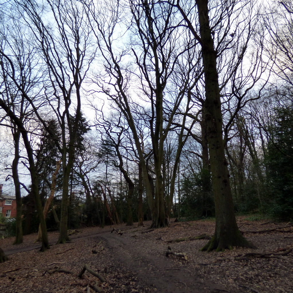
The route was wholly suburban, using the Dollis Valley Greenwalk, the Capital Ring and a few residential streets. In some parts, the route was almost countryside with an occasional building in sight.
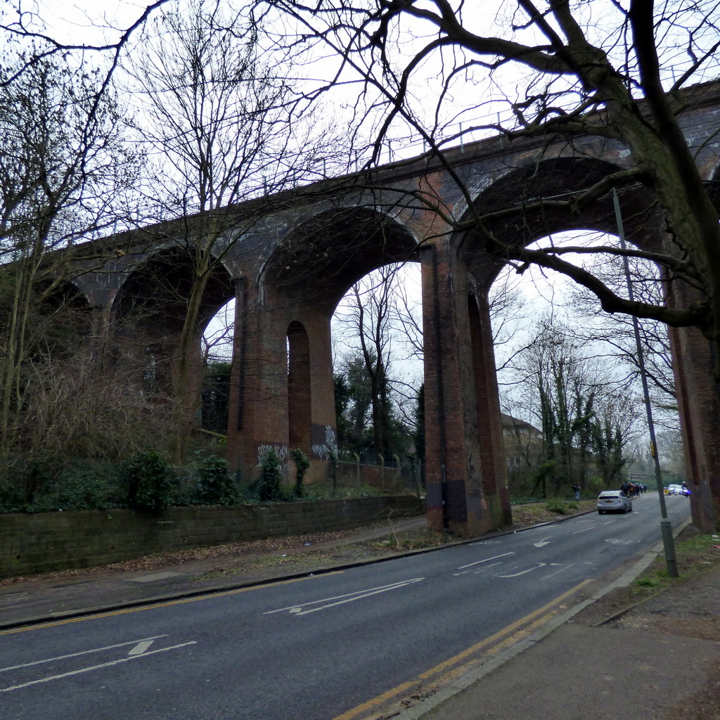
The route started at High Barnet tube station, a terminus of the Northern Line. Today, we use the short name “Barnet”, as a vague reference to the general conurbation, a confusion compounded by the London borough and the town sharing the name “Barnet”. The original name for the London village nearest High Barnet tube is “Chipping Barnet”, originally part of the hundred of Cashio (source), later subsumed into Hertfordshire and later tossed into the London Borough of Barnet. The junction between Wood Street and High Street is the first known location of a settlement in the area, with only a passing reference to Arkley and Hadley in a boundary description from 1005 (source). King John granted a market charter to Chipping Barnet in 1199. The High Street is also known as the A1000, the former Great North Road. Thereafter, the history of the town appears quite typically non-eventful for any rural-but-not-for-much-longer large village. Except perhaps for the rude interruption of the Battle of Barnet 1471 within the War of the Roses (making the then score Yorkists 5 – 1 Lancastrians). Barnet grew by sprawling eastwards and southwards, blending into Cockfosters, Enfield, Whetstone and Finchley. To the south-west, Totteridge looks like an island surrounded by golf courses and designated green spaces. To the west and north-west, Barnet is isolated by the A1 and some green spaces from Borehamwood.
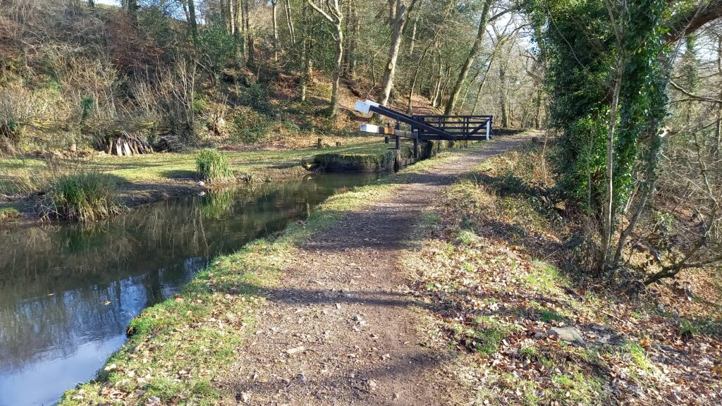
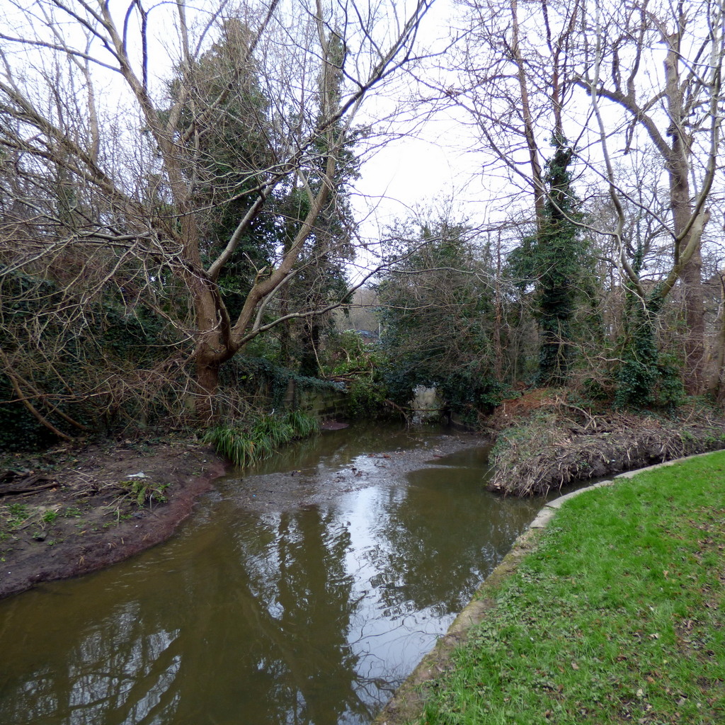
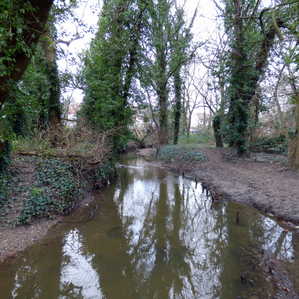
Dollis Valley Greenway was developed primarily by the London Borough of Barnet and the Countryside Commission (now Natural England). The Greenway captures the Dollis Brook and its surrounding countryside – essentially the brook’s flood plain – to create a green corridor of 10 miles length. The development has resulted in hardstanding pavement throughout the length of the brook, giving people a clean (almost mud-free) walk alongside the brook. The area contains two Sites of Borough Importance for Nature Conservation: Upper Dollis Brook (grade I listed, extending from Mill Hill to Woodside Park) and Lower Dollis Brook (grade II listed, extending from Woodside Park to the Brent Cross flyover).
We took a coffee break at Vero Caffe, Woodside Park.
As we progressed southbound, we inevitably bumped into the A1 – thankfully using an underpass – giving us a hint to the immediate future: the A1/A406 crossover. A nightmare for motorists, originally designed with pragmatism in mind, but nowadays a form of vehicular and psychological torture, our route took us eastbound along Mutton Brook, at confluence between the Mutton and Dollis Brooks, to form the River Brent. The route alongside the crossover was remarkably serene: we enjoyed a walk in the green, with only urban background noise, while motorists enjoyed their own private-yet-communal ordeal-on-wheels.
Mutton Brook was also the noticeable edge of Hampstead Garden Suburb (from 1906), a progression of the prototype Letchworth Garden City (from 1904). Properties to the southern side of our route looked almost identical in design and style to those we would more readily associate with the then Garden City Association’s second attempt, Welwyn Garden City (from 1920). In particular, dwellings alongside Mutton Brook included small, chalet-style detached properties with low-slung tiled box roofs, with occasional semi-dormer windows: a distinctive design. Hampstead Garden Suburb involved Raymond Unwin and Barry Parker, who were also the chief designers of Letchworth Garden City.
We took lunch at Northway Gardens, designated as a park within the plan of the Hampstead Garden Suburb. The gardens are slowly undergoing refurbishment by volunteers, Northway Gardens Organisation. Most of us sat by the rose beds themselves. Although, at this time of year, these were more like stump gardens than rose gardens. Others sat by the tennis courts, watching players practising their game.
Further east, we crossed the A1, and thus left the effective boundary of Hampstead Garden Suburb and into East Finchley proper. Surprise: some dwellings along Vivian Way, arranged as a housing estate, bore a striking resemblance to retrospectives of country cottages similar to those of Station Road in Harpenden!
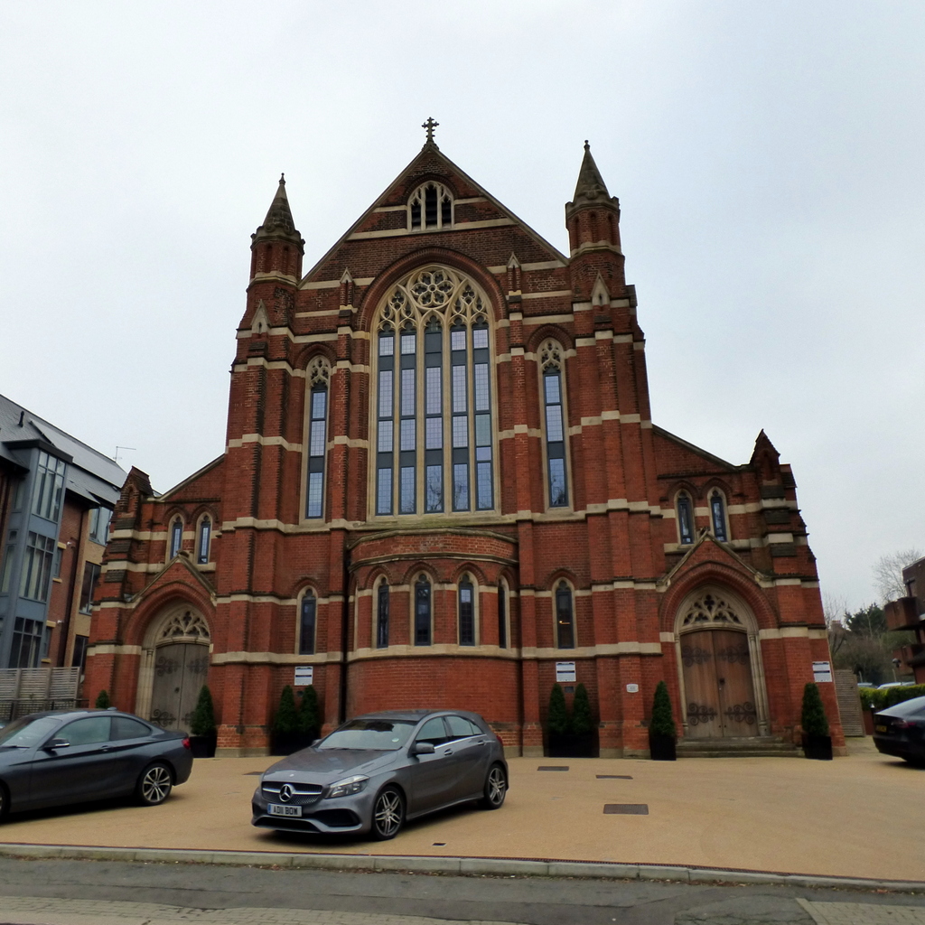
The group shot took place at the Lyttleton playing field. From this, we saw a number of buildings elevated in the south-west. It turns out that these buildings are:
- Henrietta Barnett School, Hampstead Garden Suburb
- Free Church, St Jude’s Church Hampstead
Hereafter, we resumed a familiar route through the Parkland Walk (wiki), via Muswell Hill to Ally Pally. Today’s view from Parkland Walk south-eastbound was relatively clear, taking the BT Tower, Southwark, City of London, Canary Wharf/Docklands and the QE2 Park (including the distinctive Arcelor-Mittal Tower). For those of us who had been on our Public Art walk of 11Nov2023, the distant scene invoked an image captured by the artwork Transitions by Michal Rovner. By the time we arrived at Alexandra Palace, the light had faded somewhat, the mist was settling down; some of the buildings now shone their bright red aircraft navigation lights, giving us a classic view of a city in the period immediately before sunset.
On arrival at Alexandra Palace, we co-incided with the end of a snooker competition (the semi-final of the 2024 Masters). Fans poured out of the building. We correctly guessed that this probably meant a distinct lack of space in the proposed optional pub stop.
Golf courses:
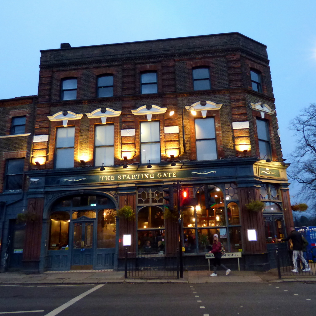
Optional pub stop
- The Starting Gate, Alexandra Palace.
For more pictures, see https://photos.app.goo.gl/mVnxykLLGSPrLjW36 .
Words by Martin Thornhill. Pictures by Peter O’Connor.