8 Mar 2025: Goffs Oak
Event Details

** Updated 07Mar2025: the weather for Saturday looks great, so this route is now the 12 mile route. **
** Updated 02Mar2025: the final test of this walk on 01Mar2025 requires a change of route, which takes the distance up to 12 miles. Consequently, some of the route will be plotted on a GPS map, but untested, before the walk day of 08Mar2025. The longer route is the more likely route. **
A circular walk of 12 miles straddling the not-quite-yet-London Borough of Broxbourne and the very-much-London Borough of Enfield.
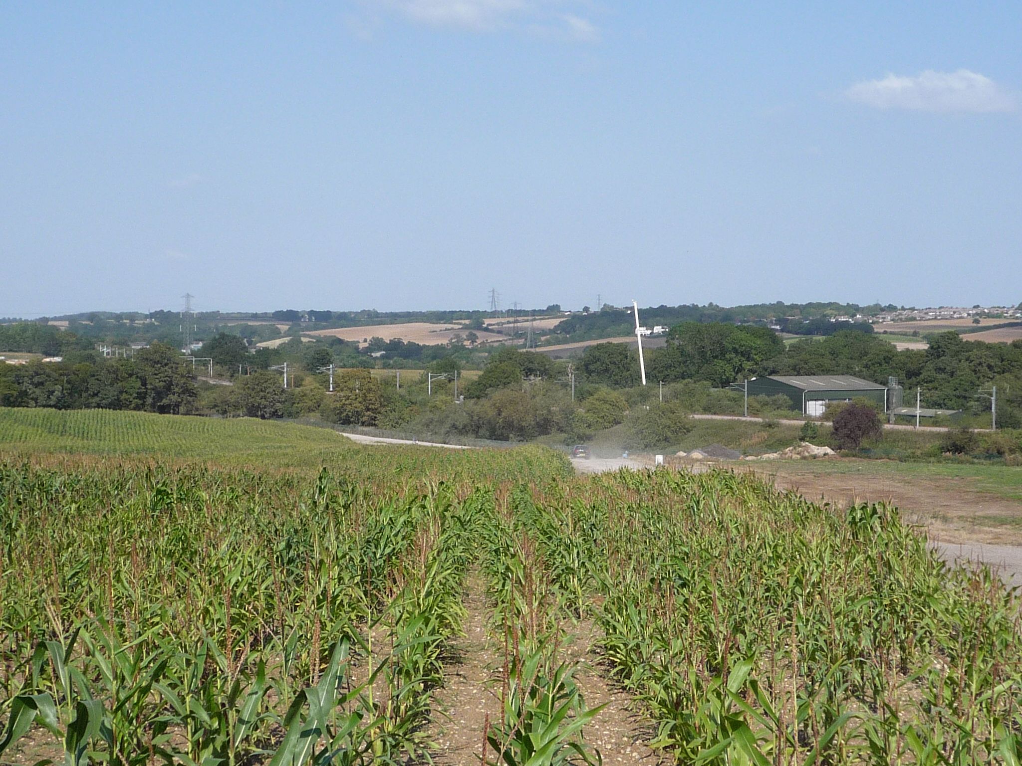
This walk takes in a classic suburban mixture of farmland and its urban neighbour, laced together with transport links, sitting on rolling countryside. There is one woodland.
Features include:
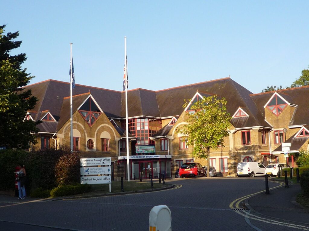
- big houses of working people done good, real property bling;
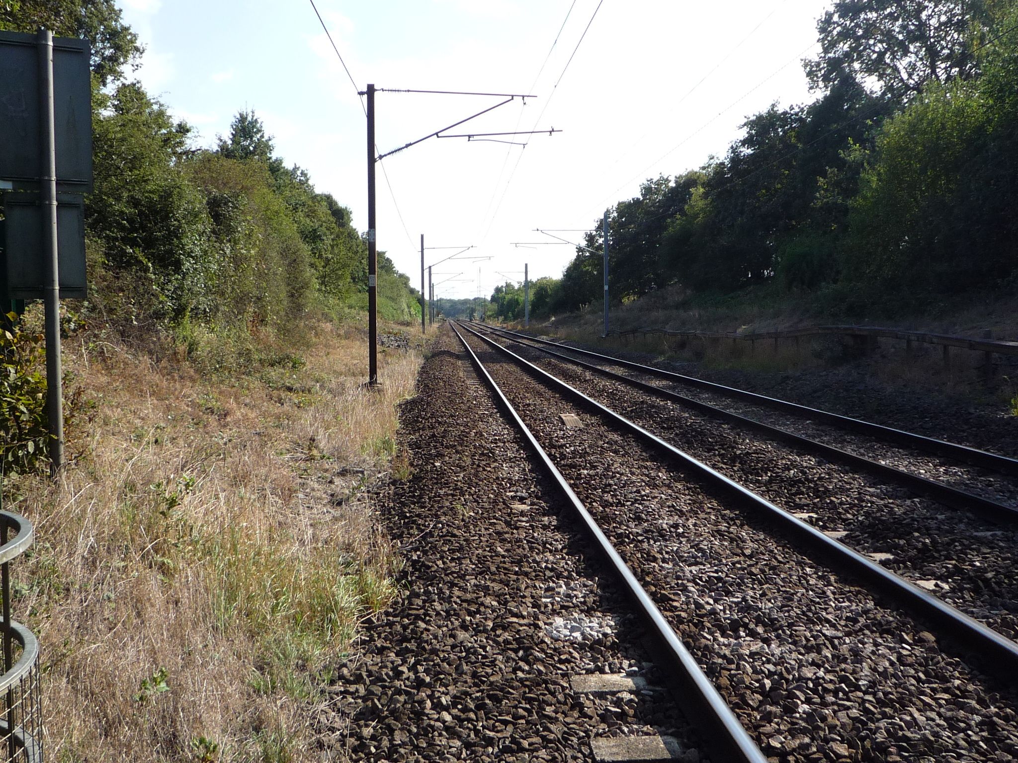
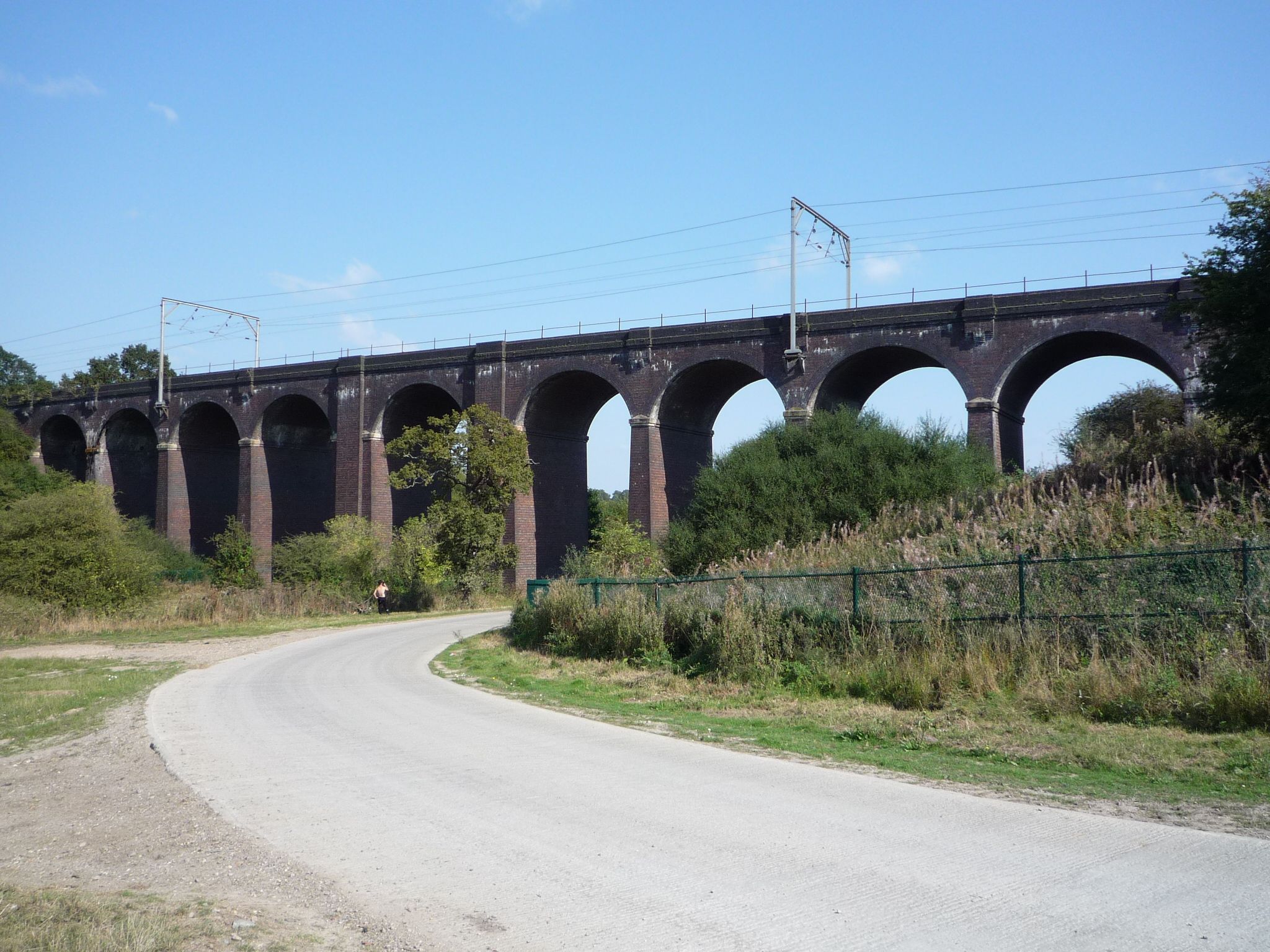
- the lesser-known sister of the Digswell Viaduct;
- a biodigester farm (one for the nose rather than the eyes, pooh, an intriguing variation of our usual sewage farms);
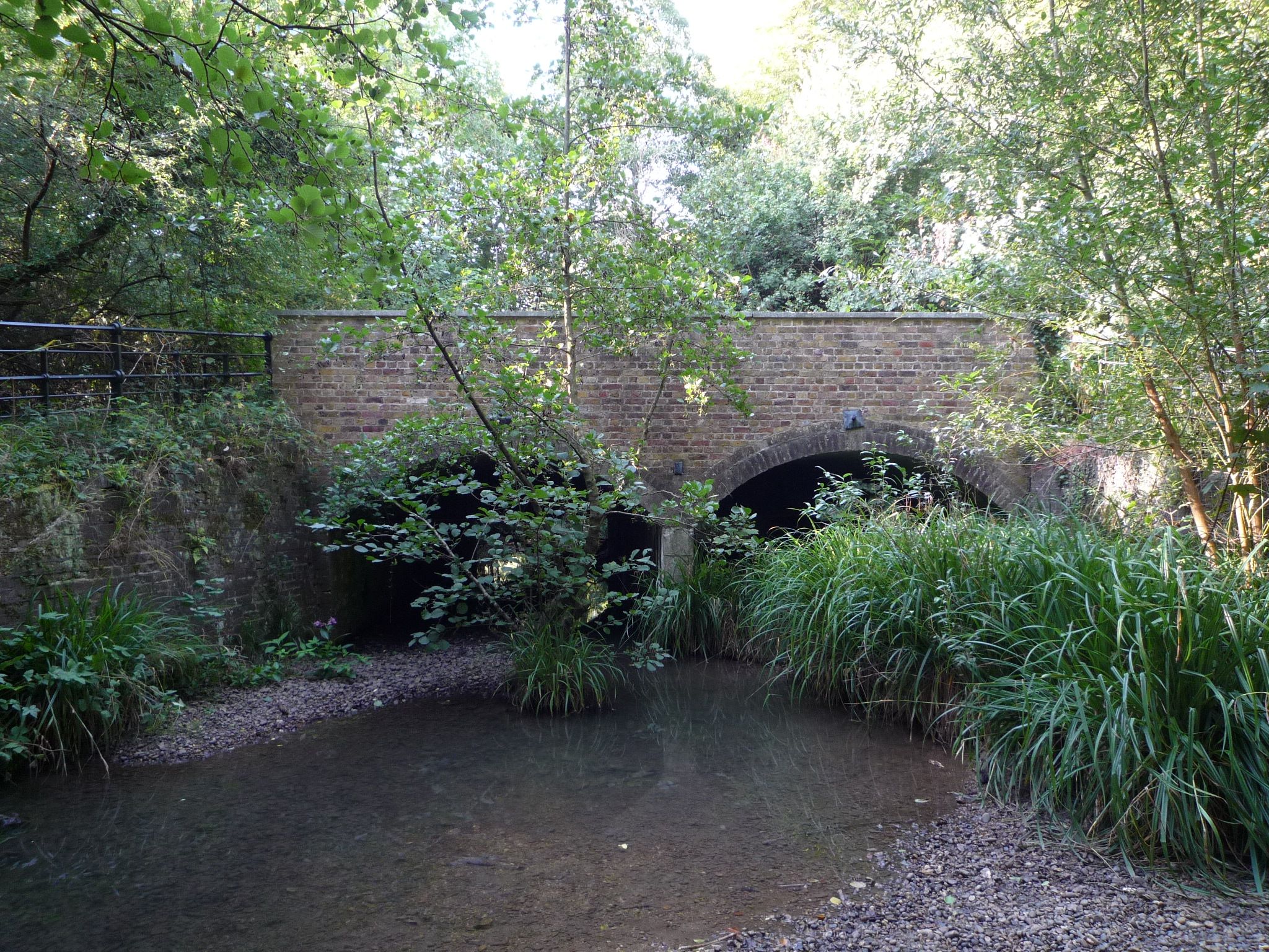
- two brooks;
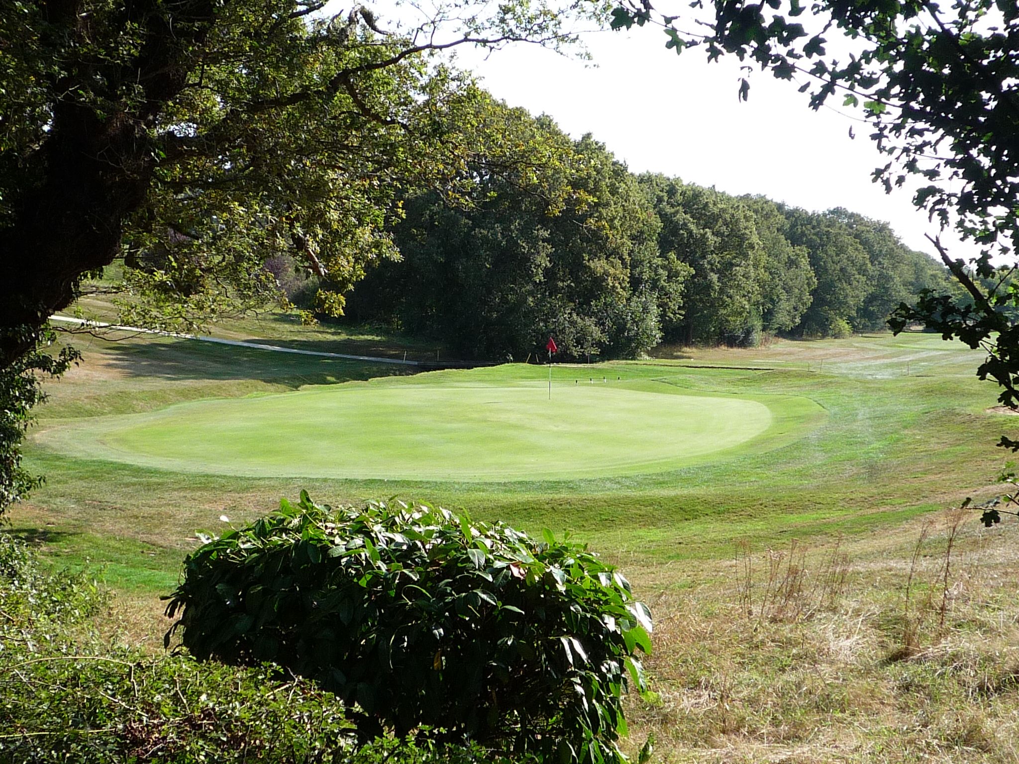
- one golf course;
- one railway level crossing;
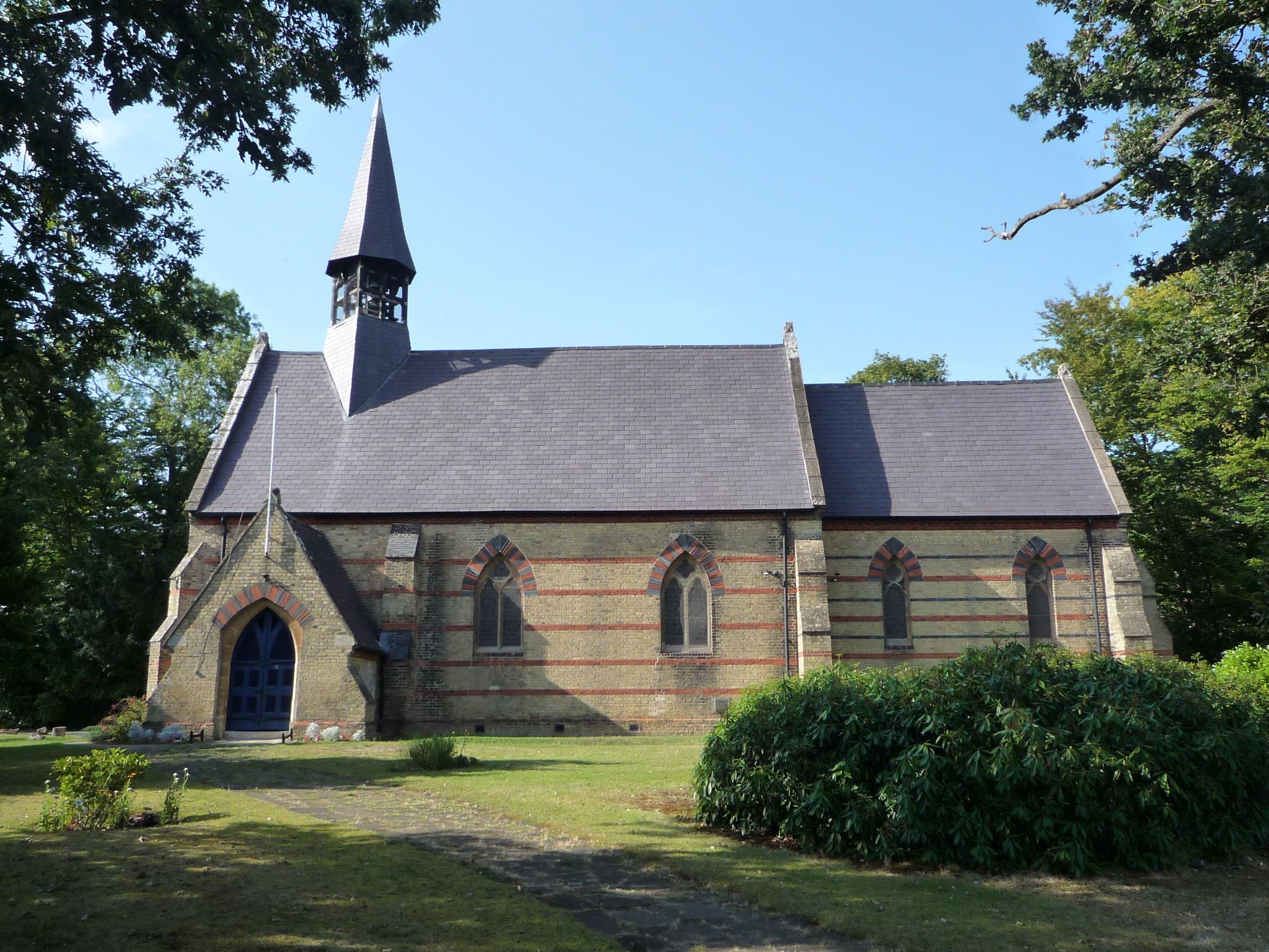
- two churches;
- one scheduled monument;
- cemeteries;
- various eras of housing estates, to compare and contrast layout designs.
The shorter route requires a train ride as part of the route.
Altitude ranges from 308ft (94m) to 495ft (151m) , with most gradients being mild. Gradients range between 54m decline over 1.6km and 40m incline over 1.39km. The walk ends with an incline of 36m over 2.47km.
The walk should finish at sunset at 17:53. This assumes a brisk pace, few pauses, a likely moving average of greater than ~2 mph or ~3.2 kph.
Nearly 60% of the route is on pavement or equivalent. The remaining 40% is off-road, including farm track, horse meadow and woodland. There will be mud. The mud will be wet. Drainage in the routes’ area is patchy; heavy rainfall between Nov2024 and Jan2025 has not yet fully drained.
Half a mile of the route is on a fast roadside. The road has good visibility. A verge side is available for part of the roadside and mainly for step-aside rather than walking. This part of the route must be walked single-file.
Some fields might contain farm animals.
There are stiles on the route.
Most of the route is exposed. Depending on the weather, wear sunscreen and/or windproofs and/or waterproofs.
Wear sturdy boots or similar thick-soled shoes. Trainers will not suffice on this route. Boots with canvas uppers are at risk of getting soaked.
Bring packed lunch, plenty of water and something to sit on. Lunch is going to be sat on the ground in a churchyard (a lucky few might get some benches). The lunch point is exposed.
Bring a torch and/or a hi-vis vest. Although the last few miles of the longer route are on urban pavement, the street lighting is limited and the light will be fading. A torch will make you visible to drivers and aide your road safety. If you have one, wear a hi-ves vest for this part of the walk.
The start point is close to public transport, fewer than 2 miles away. If you need a lift, please ask for one in the comments section below.
Twenty-five minutes after the start point is a corner shop and a café for coffees and sandwiches to take-away. This would be for a brief pause only, maximum ten minutes.
Optional pub at the end of the walk. The pub will be very busy, so we shall be sat outside. The food at the pub is excellent (est ~£30ph one course plus one drink).
Full details are available to members only

Ready for another adventure?
GOC Shop
From hoodies and t-shirts to bags, bottles and bears - show your love for GOC with our gear from Spreadshirt.