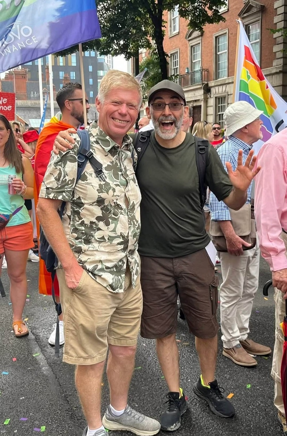
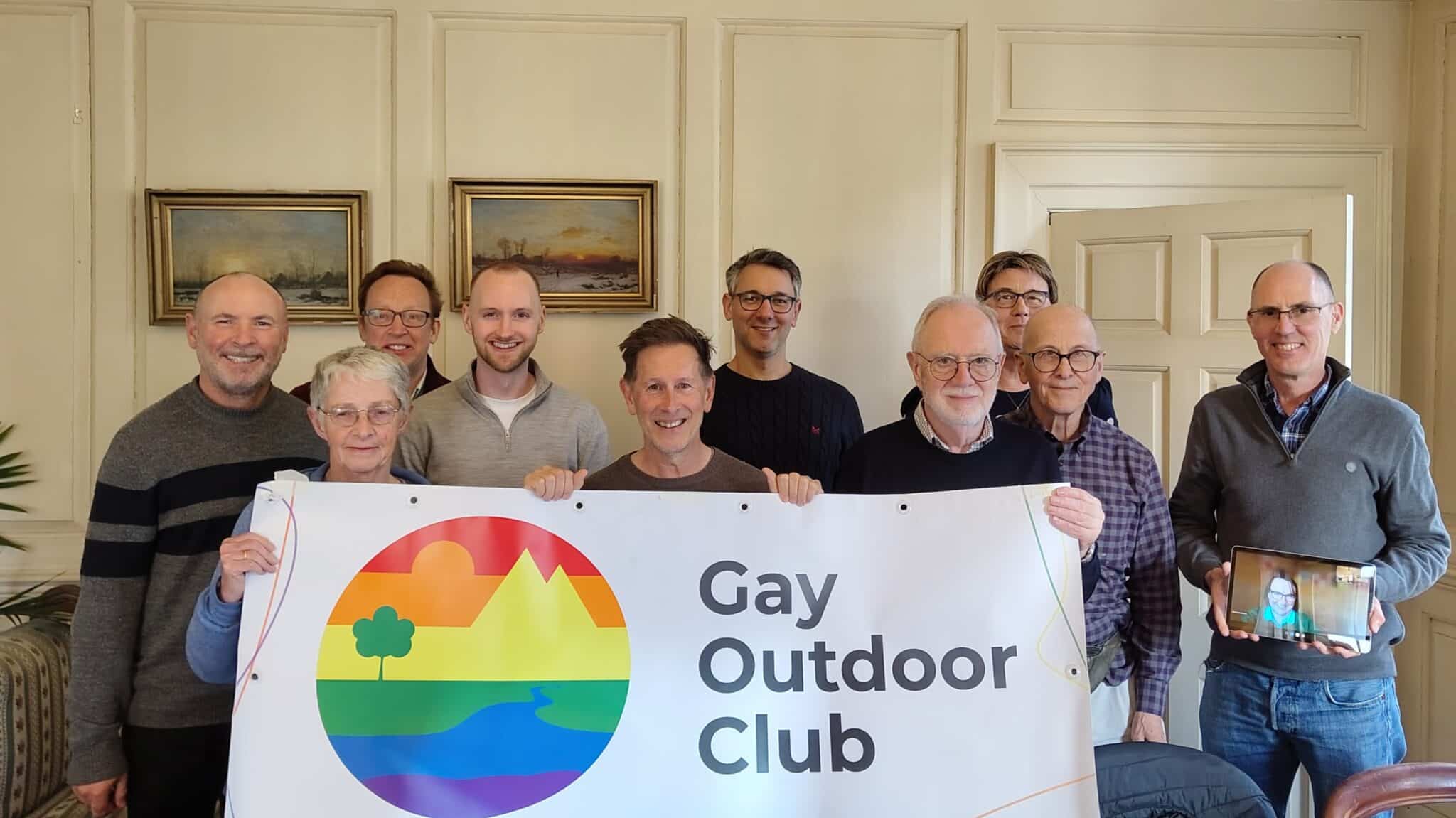
Welcome to the Gay Outdoor Club, South Wales Group, webpage.
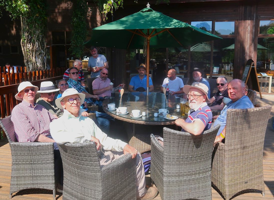
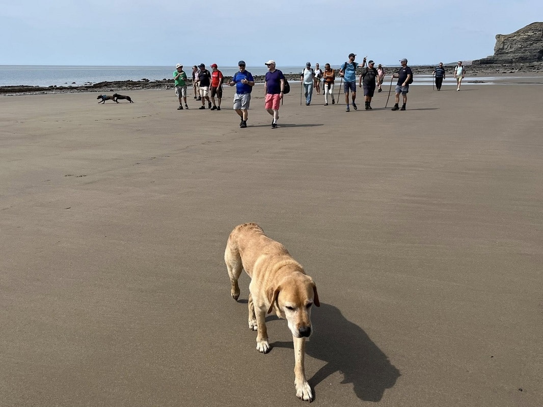
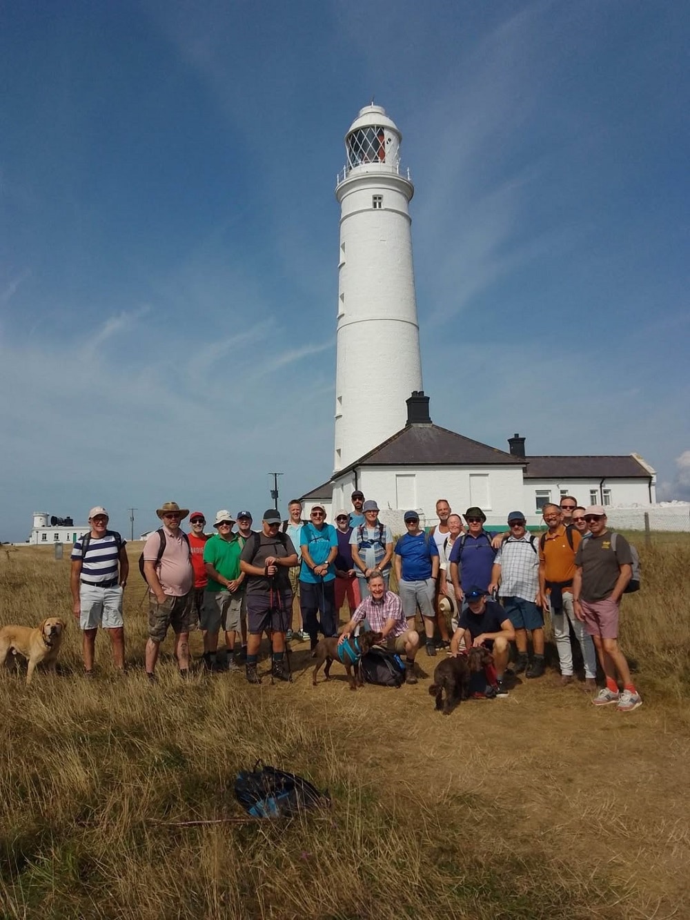
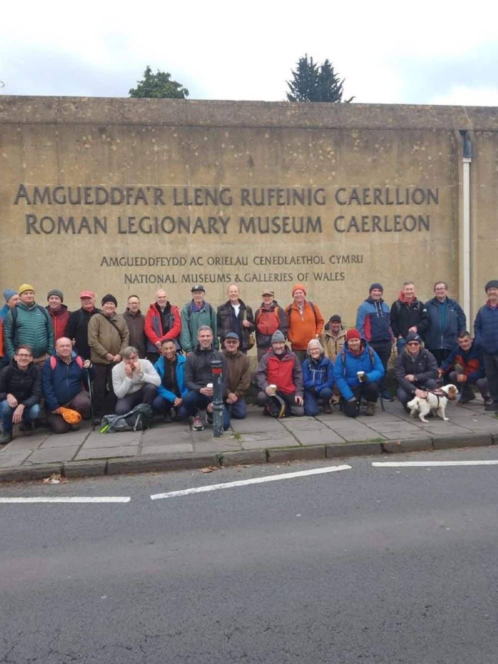
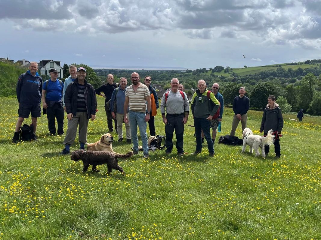
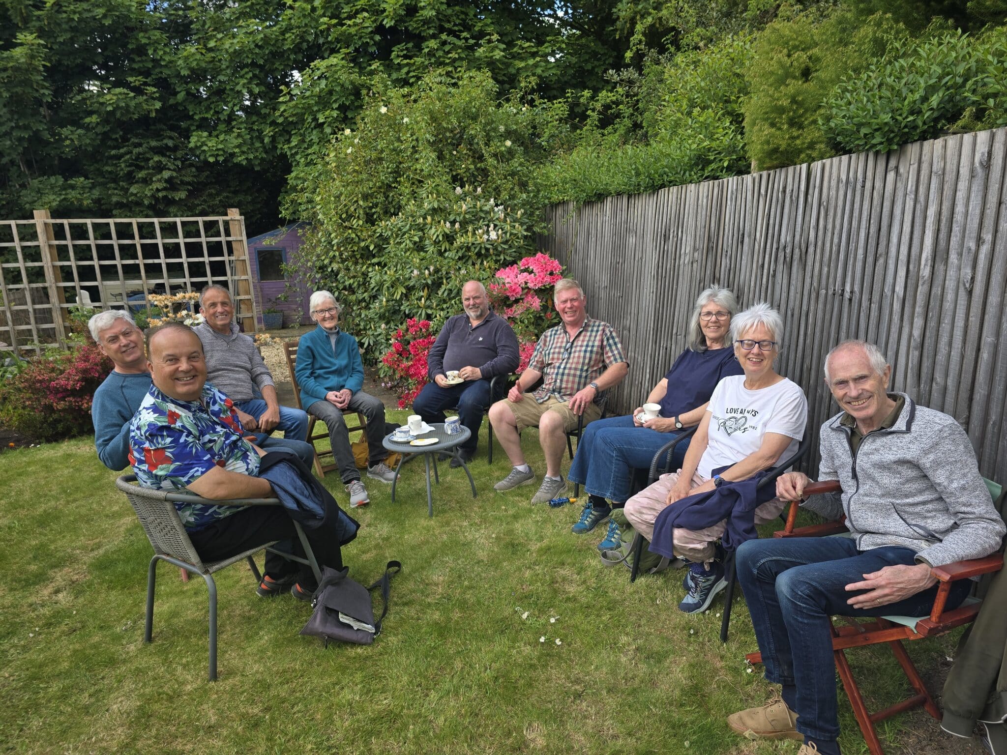
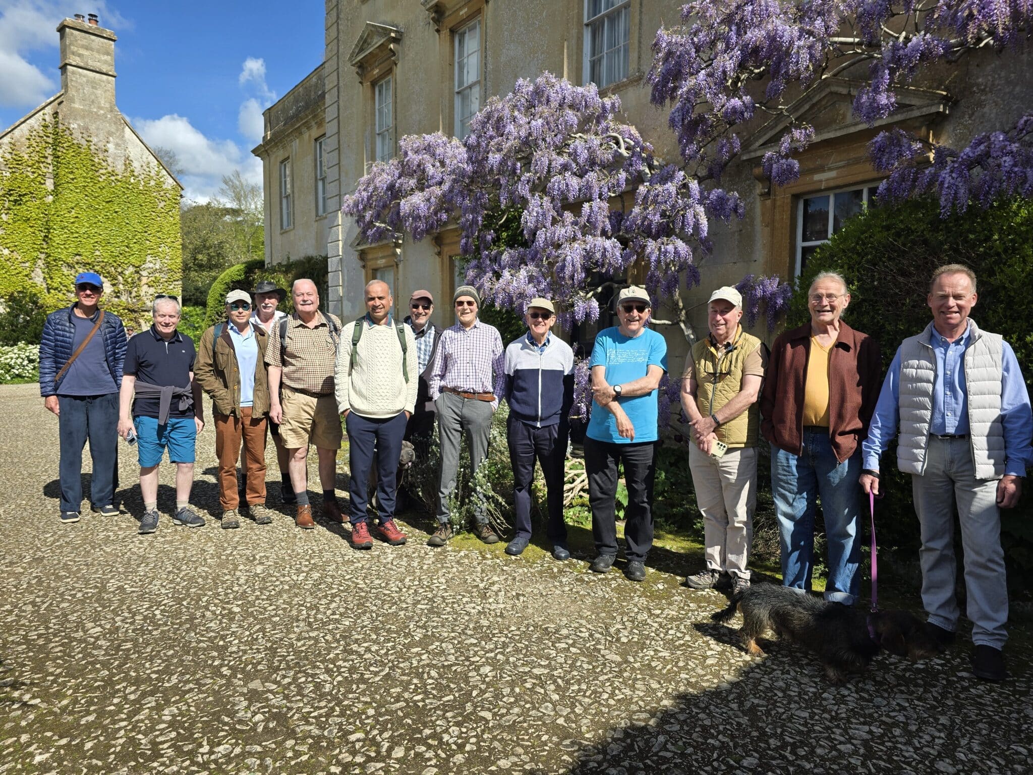
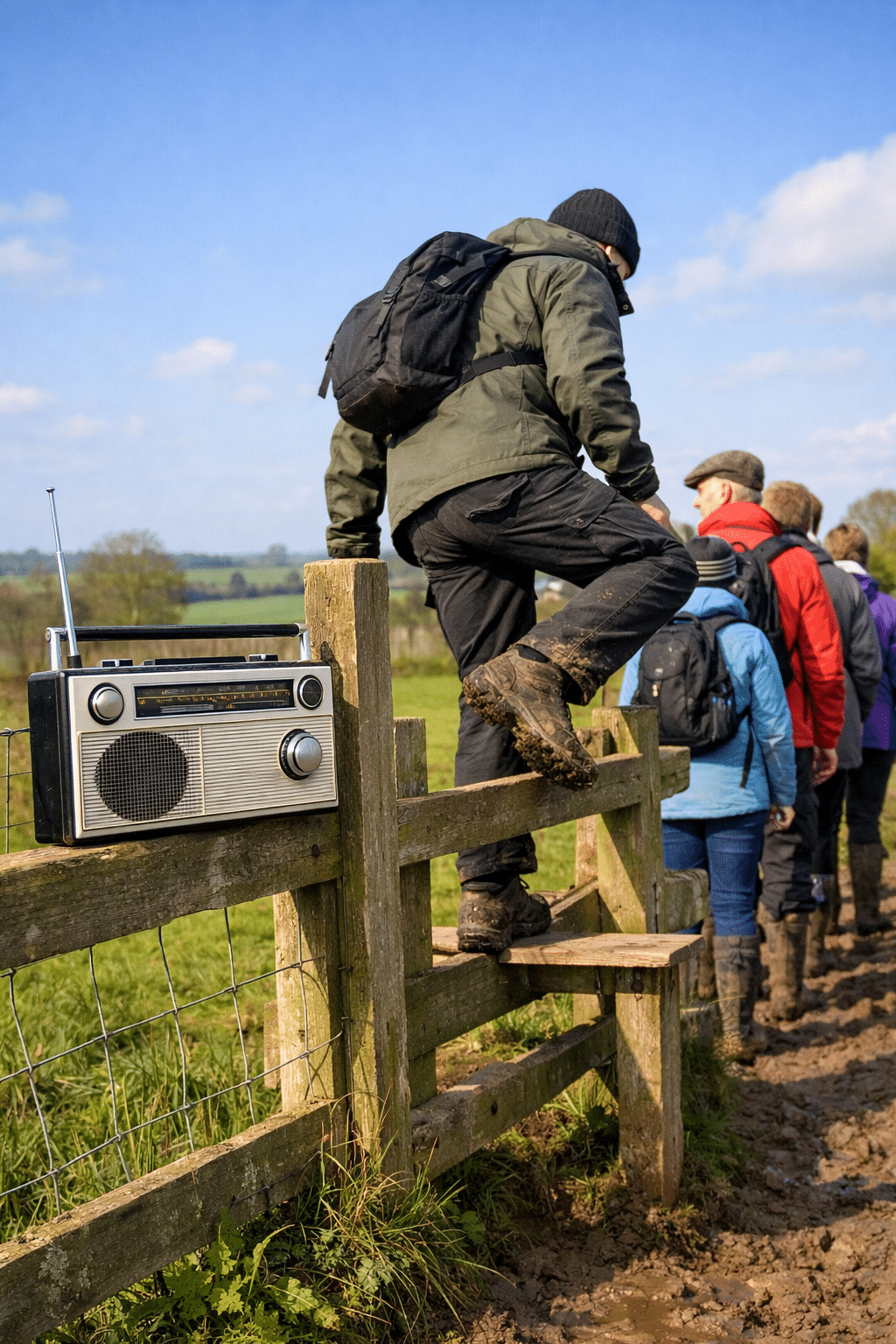
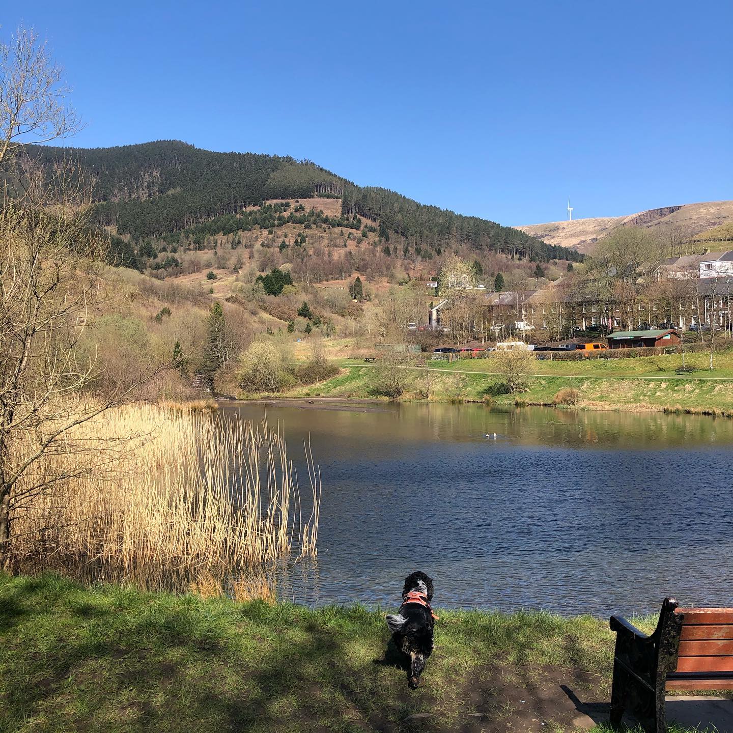
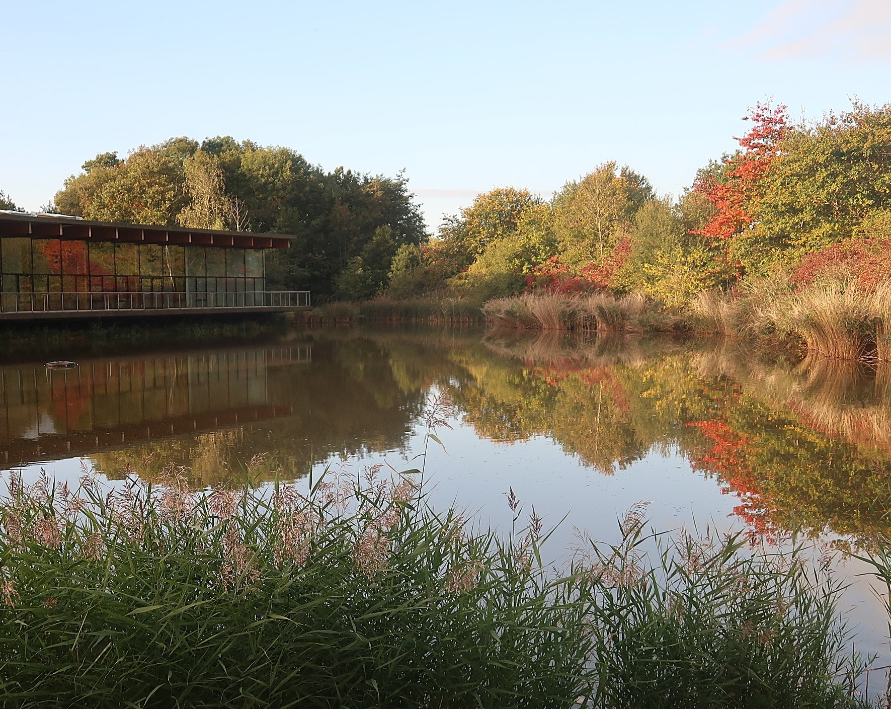
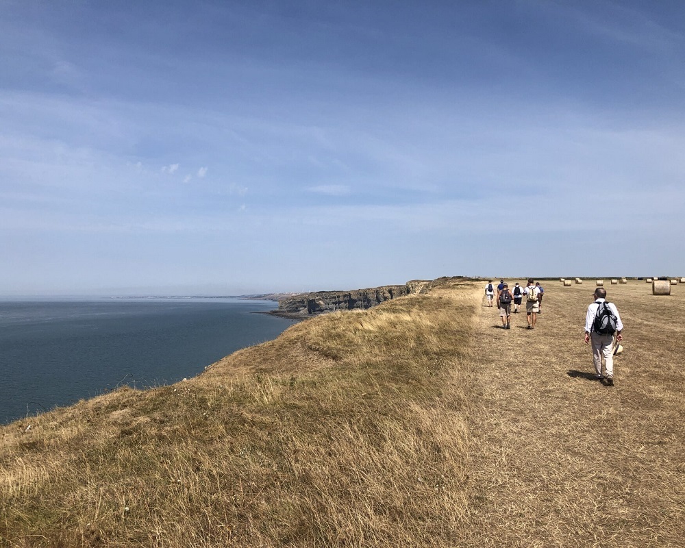
We normally have our walks on the third weekend of each month, usually on the Sunday. Each walk is usually around 6 to 8 miles and of a moderate nature, and we always walk at the pace of the slowest person. Occasionally, there will be a more challenging walk and at other times an easier walk, to suit all tastes. We usually have between 15-25 men and women attending the walks (often depending on the weather!) and members from other local GOC groups often join our walks. Although an LGBTQ+ organisation, friends and family members who do not identify as LGBTQ+ are also welcome to join as members, or as a guest for an initial event.
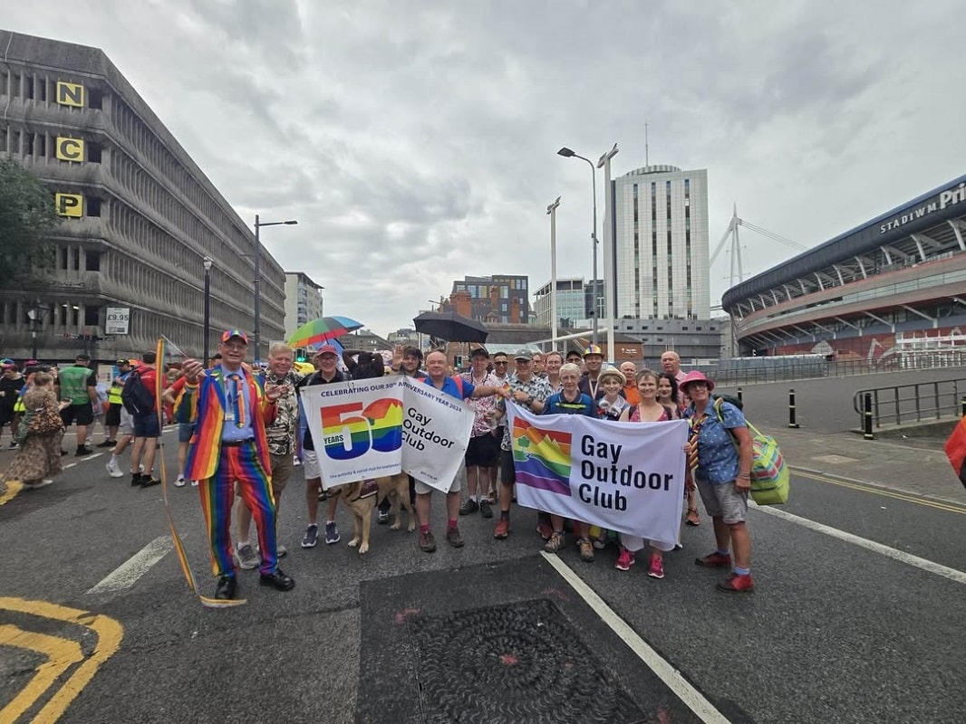
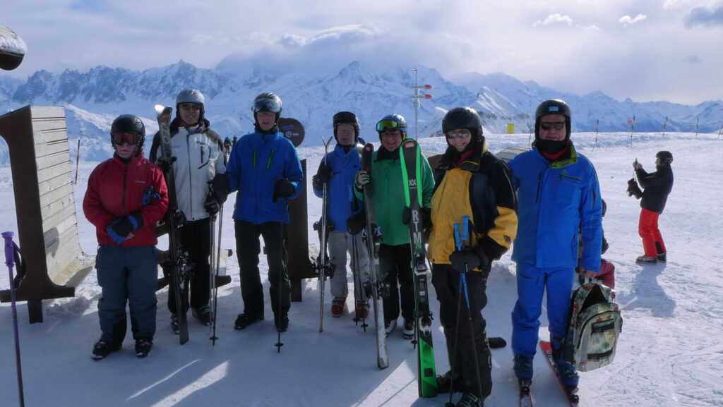
We are lucky to have such a wealth of great walks in our area. We also arrange walking weekends and social events. We are all very friendly and you are assured of a warm welcome. The group started in the year 2000 and the Gay Outdoor Club itself has been running for over fifty years. Come and join us!
Details of all walks and events from all the groups up and down the country are listed on the website and you can access full information by registering without charge as a guest on a four-month trial basis, initially, on the website (www.goc.org.uk). Should you require further information, contact us via this contact page, or just turn up for an event.
Alan.