
This was a flagship circular walk of 10.5 miles, from Mill Hill Broadway railway station, N through Moat Mount Open Space, W towards Totteridge, S to Millbrook Park, W through Mill Hill proper to the start point.
The usual stats:
-
Event led by Martin T.
-
Attendance: 17 men.
-
Distance: 10.5 miles (16.9 km).
-
Altitude per GPS: low 347ft (105.8m), high 577ft (175.9m), climb 1519ft (463m), descent 1519ft (463m).
-
Time: start 11:10, end 16:04 (sunset 20:37), lunch 33 minutes, other breaks 25 minutes.
-
Speed: moving arithmetic average 2.68mph (4.3kph).
-
Weather: sunny intervals, temperature up to 21°C, easterly wind ~11mph (17.7kph).
-
Number of sewage works: 0.
-
Number of churches: 3.
-
Number of golf courses: 0. Amazingly, zero. Who’d have thought?
Description of route:
-
The purpose of the route to was show just how quickly a gritty, noisy, congested, grubby, concrete, urban jungle gave way to peaceful, quiet, green countryside, all within the M25. The route achieved this objective and qualified as a flagship route.
-
The start point was the top level of a staircase, right next to Mill Hill Broadway railway station, underneath the loud and unsubtle flyover of the A1.
-
A quick romp north-west bound through the Broadway, and up a series of unrelenting hills, took us into glorious Middlesex suburbia. Residential properties, delicately plonked around the place in endless commuter-belt arcades, ranged from every decade. One ancient property (Marsh Lane, A5109) sat alone next to a road of bespoke properties, opposite a housing estate of the 1960s.
-
The properties demonstrated the balance between inter-generational ownership and periodic refurbishment. The grand-parents bought the place, the parents did it up, the kids more-or-less re-built it, property after property.
-
Almost without warning, the housing estates abruptly stopped and we found ourselves in woodland. This was the Moat Mount Open Space (wiki), starting with Nut Wood, passing Leg of Mutton Pond, watching as the woodland thinned out into well-developed hedgerows, separating meadows. The re-wilding agenda was clear to see.
-
The route briefly walked along Hendon Wood Lane, which featured a variety of apparently self-build (certainly self-designed) properties, many of which were designed to appear somewhat bling.
-
After leaving Hendon Wood Lane, the route became stunningly rural. The countryside went really quiet, save for the occasional aircraft leaving Heathrow Airport, at which point it was easy to forget that one was still walking inside the M25. It was such countryside, that we passed a small team of cricketers, practising whatever cricketers are supposed to do with bats and balls. Technical stuff.
-
The route continued along Dollis Brook, turning south up a nice hill, towards Totteridge Common, a road which could have been any country road, only for a couple more cars than one might expect in East Herts and the occasional London bus (which one would never want to see in East Herts).
-
We took lunch by Long Pond and Burnham Pond. Long Pond is a fishing pond. There were a few benches and logs nearby. One of the benches was initially taken by a pair of geese with their goslings.
-
The second half of the route continued southbound, downhill, giving us a great view of the London Thames Basin eastbound. Ally Pally and its transmitter was visible to the north; Canary Wharf, the City of London and the Shard were visible towards the south.
-
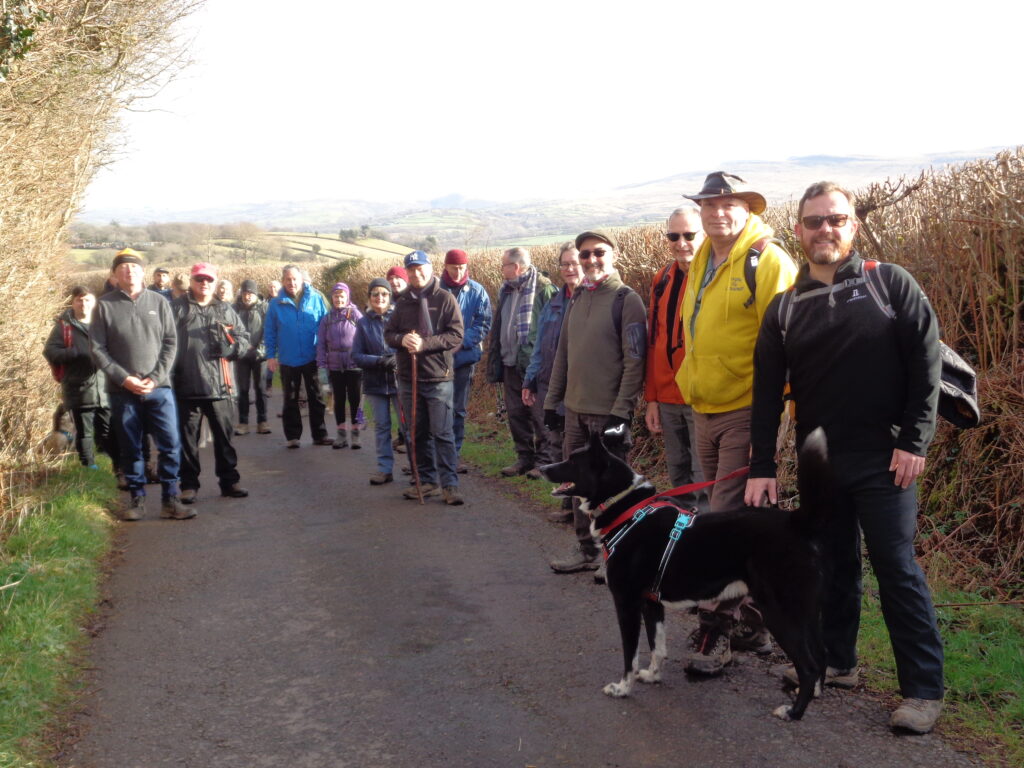
The group shot took place at Darland’s Lake Nature Reserve (history). The nature reserve itself is relatively small designation immediately to the west of Totteridge & Whetstone. The centrepiece is a thicket of woodland, in which water fed by Folly Brook forms a pond. The group shot featured the pond in the background. The woodland includes the rare snake’s head fritillary (which flowered in March this year) and the common wild garlic (only recently come into flower, with a wonderful, fresh smell). Beyond the designation, Darland’s land is mainly grassland, with superb elevations and warm micro-climates. The land had been landscaped in its past, with the most recent significant building work completed in 1935s. Much of the pleasure grounds have since been build on by housing estates, resulting in the remaining park serving as farmland. The designation was created in 1982.
-
The final phase of the route returned to the urban environment, gradually increasing building density and impact over distance. This phase started with saying hello to a few horses, followed by a walk along the village-like modern eco-development at Millbrook Park.
-
The next instalment of the final phase was a stroll through the old village of Mill Hill. Today, the properties of the High Street are all residential, with only a few clues about the commercial purpose of some of the buildings. A pond sat in the middle of a three way junction in the classic alignment of an old village. The pond still looks like somebody manages it.
-
The next instalment of the final phase was through the Mill Hill School, a private school. Even here, close to Mill Hill Broadway and the A1, the area was noticeably peaceful.
-
The final instalment of the final phase took the shortest route through Mill Hill Park, an underpass of the A1, one suburban residential street and ended back at the gritty, noisy, congested, grubby, concrete, urban railway station.
Churches:
-
Sacred Heart & Mary Immaculate RC church, Mill Hill Broadway.
-
Church of the Brotherhood of the Cross & Star, Mill Hill village.
-
Mill Hill Synagogue (an honorary church on this list).
9 members attended the optional coffee stop and compulsory cakes at Bank Coffee Lounge, Mill Hill Broadway.