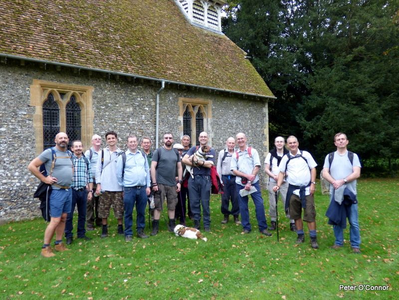
Event led by David W
Attendance: 16 men, 2 dogs.
Distance: 13km (8.24 miles)
Time: start 11:06, end 15:47, lunch 37 minutes
Terrain: footpath, bridleway, field edge, woodland, road/pavement.
Elevation: start 184m, high 199m, low 172m
Weather: warm, humid, overcast, little or no wind 18°C
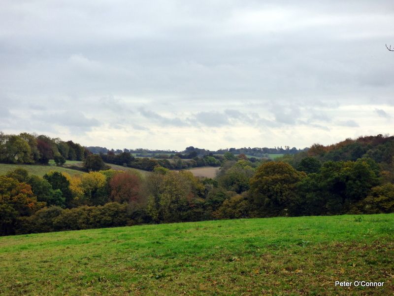
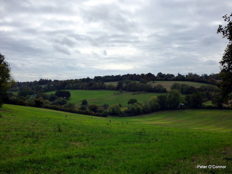
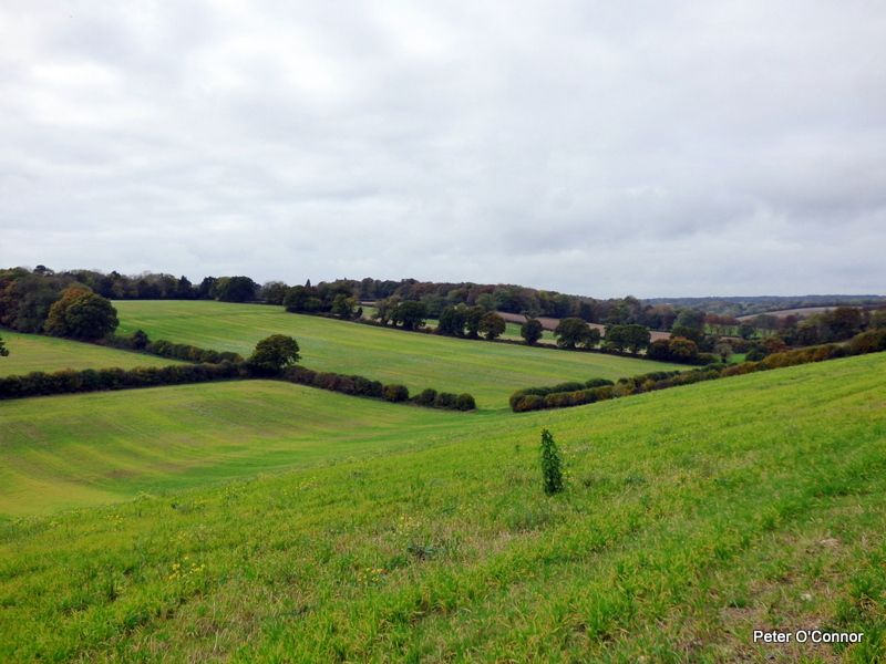
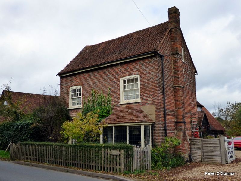
This was an 8.24 mile circular walk from Cholesbury SE to Bellington, SW to Asheridge, SW to Chartridge, WNW close to Lee Common, NNE to Buckland Common and E to Cholesbury. All of the route was rural and wholly in Buckinghamshire.
The area is a very quiet rural part of Buckinghamshire, a corner of stillness that defies the noisier peninsula of Hertfordshire that juts into Buckinghamshire. Aside from the occasional distant noise of aircraft, to remind you that you are close to Heathrow, there was no clue of being so close to the A41 and M25.
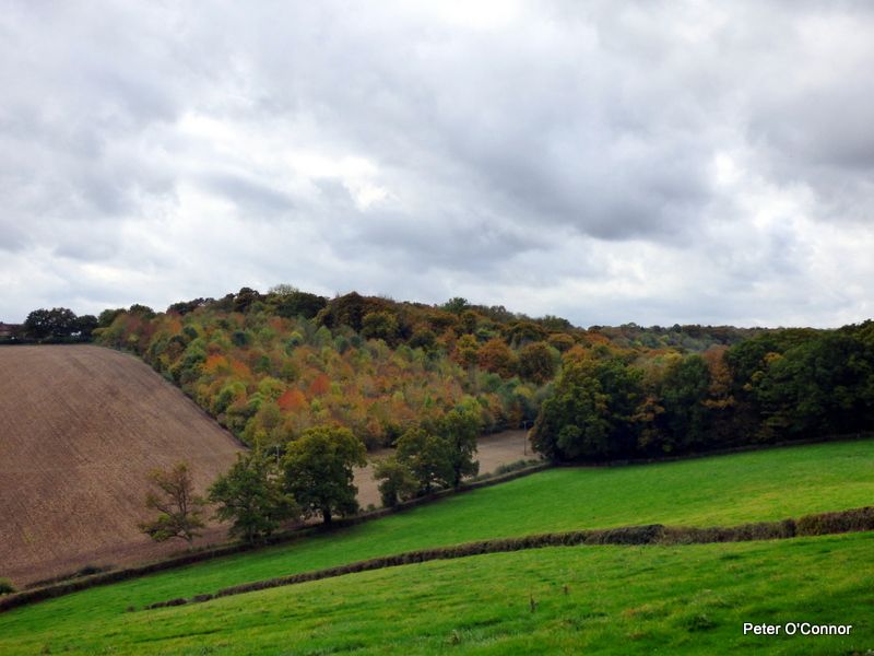
The landscape is typical Chiltern country: rolling hills, with short inclines and modest gradients, giving nature a varied easel on which to paint a textural pattern of colour. This being mid-October, the leaves of trees had started their transformation to yellow, gold, russet and red, with plenty of green still soaking up whatever sunshine remains in the year. Rich topsoils - a light clay with chalk and years of mulch - were soft underfoot, leading to the odd puddle of juicy mud. The autumn hadn’t progressed enough for the smells of autumn to have appeared.
The optional pub stop at the end was at the Full Moon pub, which recently took on a new chef. The food menu looks very attractive. The bar carries six real ales, two ciders, plus the usual supply of branded factory-made lagers. The pub has numerous side rooms, including a private function room, and a large beer garden.
Photos by Peter O’Connor. Words by Martin Thornhill.