** Update: change of date from 09Aug2025 to 08Aug2026 **
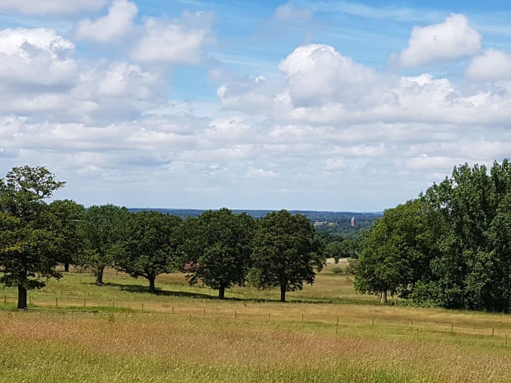
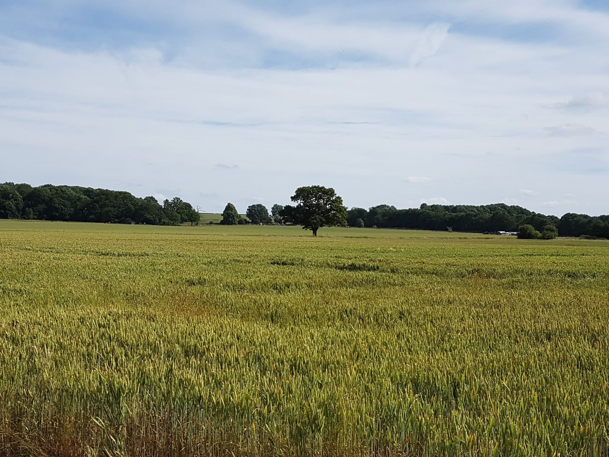
A circular walk of 11.7 miles (18.72km) alongside the Colne Valley in South Herts, crossing the M25 multiple times. Much of the countryside is partially set-aside farmland, now getting a bit scrubby, with the occasional cropped field and horse field.
At times, you can hear the quiet countryside. At other times, you can hear nothing but motorway. The acoustics on this route are most peculiar.
Points of interest on the route include:
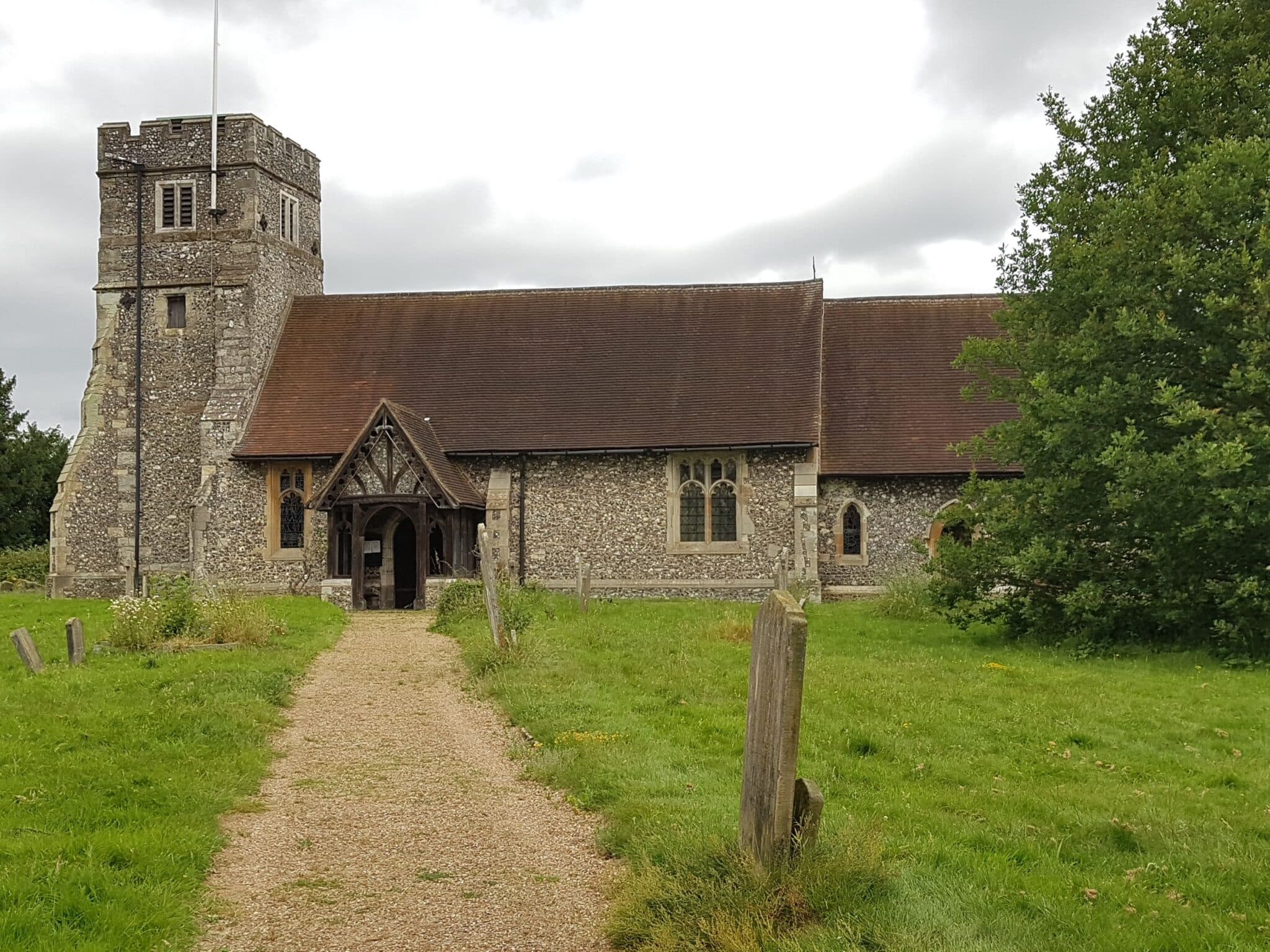
- 2 churches and 1 former church;
- the River Colne and some of its fishing lakes;
- the Catherine Bourne, tributary of the Colne;
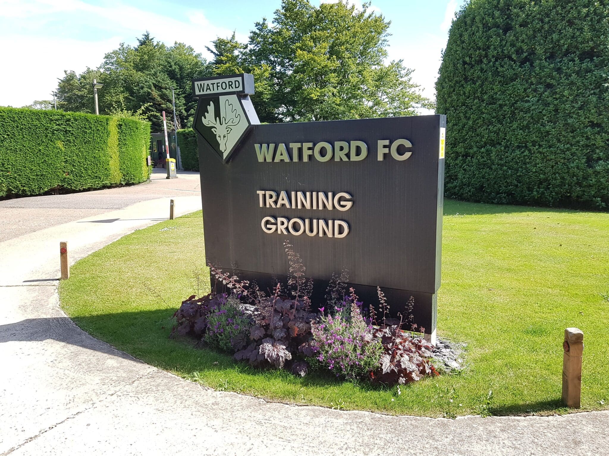
- a football club’s training ground (which should be empty, because our walk is on a Saturday);
- some pleasant middle-distance views throughout the walk;
- possibly some light aircraft.
Altitude ranges from 393ft to 613ft (120m to 87m), with all gradients being mild. Steepest gradient is 121ft rise over 715 yards (37m rise over 654m).
Most of the route is exposed. Depending on the weather, wear sunscreen and/or windproofs and/or waterproofs.
Wear sturdy boots or similar thick-soled shoes. Whether wet or concrete-dry, the ground will be too uneven for trainers.
Bring packed lunch, plenty of water and something to sit on.
The start point is accessible by public transport.
Optional pub stop at the end of the walk, from which meals are available.