
This was a circular walk of 9 miles around St Ives and the River Great Ouse, from the town’s E, W to Houghton, outbound S of the river, returnbound N of the river.
The usual stats:
- Event led by Khris T.
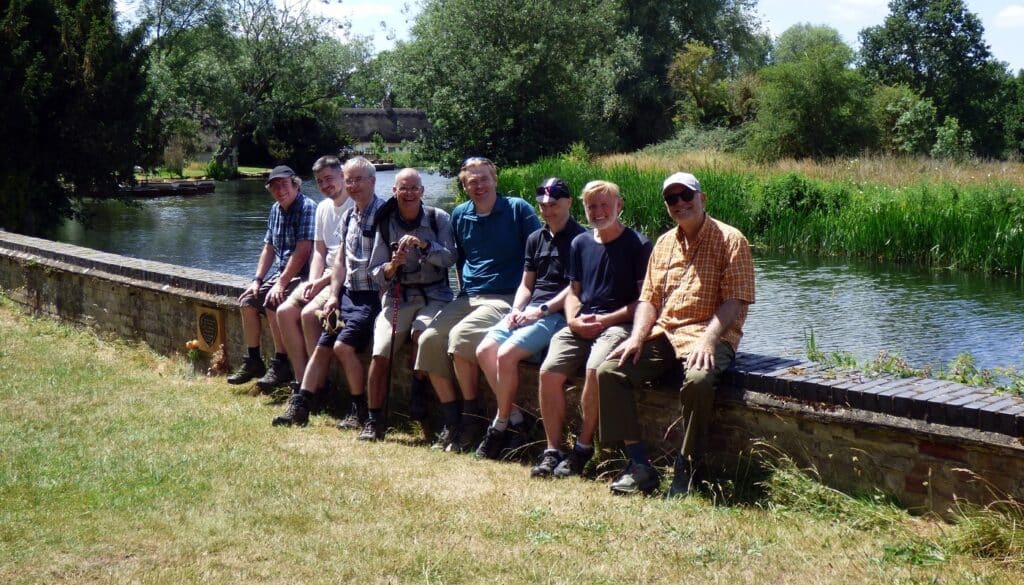
- Attendance: 9 men.
- Distance: 9.06 miles (14.6 km).
- Altitude per GPS: low 111ft (33.8m), high 200ft (61m), climb 790ft (240.8m), descent 725ft (221m).
- Time: start 11:09, end 16:42 (sunset 21:22), lunch 35 minutes, other breaks 25 minutes.
- Speed: moving arithmetic average 2mph (3.2kph).
- Weather: sunny, temperature up to 29°C, westerly wind ~14mph (22.5kph).
- Number of sewage works: 0.
- Number of churches: 3.
- Number of golf courses: 0.
Points of interest:
- The start point was a giant car park, the park & ride of St Ives. This is also the point at which buses join the dedicated “guided bus” route. The engineers’ challenges included how to build a road that fit buses, but somehow prevented (smaller) private cars using the busway. The solution was to dig a hole wide enough for a bus to side-step, yet too wide for any car to side-step, thus falling into the hole. Other than trapping the car for hours until somebody with a pick-up truck rescues said car, it’s hard to know what this achieves. The guided bus itself is a twin track of concrete, one track underneath each side of the bus, with a guard rail confining the edge of the bus’ tyres strictly into the track. A gap between the two tracks means a lot less concrete is needed to build the bus track.
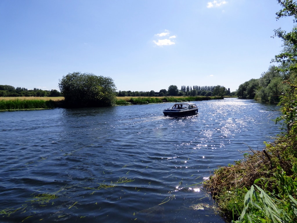
- the River Great Ouse dominates the outbound journey. The footpath follows the river at this point of the walk. The flood plain for the river is wide, thus the best use of the flood plain land is agriculture. Fields sat either side of the walk route. This was a tranquil part of the walk.
- Jones Boatyard hosts a small marina, provides boats for sale and boat servicing. The website has a series of webcams from which you can see what is going on in live action.
- the water meadows typically have names. Wilhorn Meadow, Hemingford Meadow (an SSSI), Regatto Meadow, Battocks Meadow and The Thicket (a meadow with trees) all formed part of the route. Wilhorn Meadow was once managed as a lammas meadow, which describes a communal use of the land for the grazing of animal between 01 Aug (lammas) and 01 Feb (Candlemas) (source). Wilhorn Meadow is no longer used for animals because it is full of buttercups.
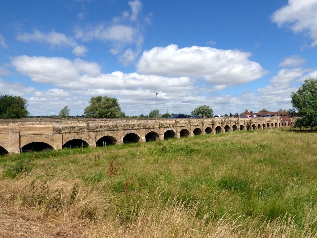
- from the footpath on the meadow, it is clear that the propensity for water meadows to contain water is a fact the locals take seriously. Roads, and occasionally, houses rest on stilts. Harrison Way and New Bridges (part of London Road heading NE to St Ives Bridge) serve as evidence to prior experience about keeping roads open when river plain floods each year.
- the route passed The Manor at Hemingford Grey, whose noteworthy gardens are visible from the riverside. The manor dates from C12 and its famous for the children's’ books of Lucy Boston, where the house was known as Green Knowe.
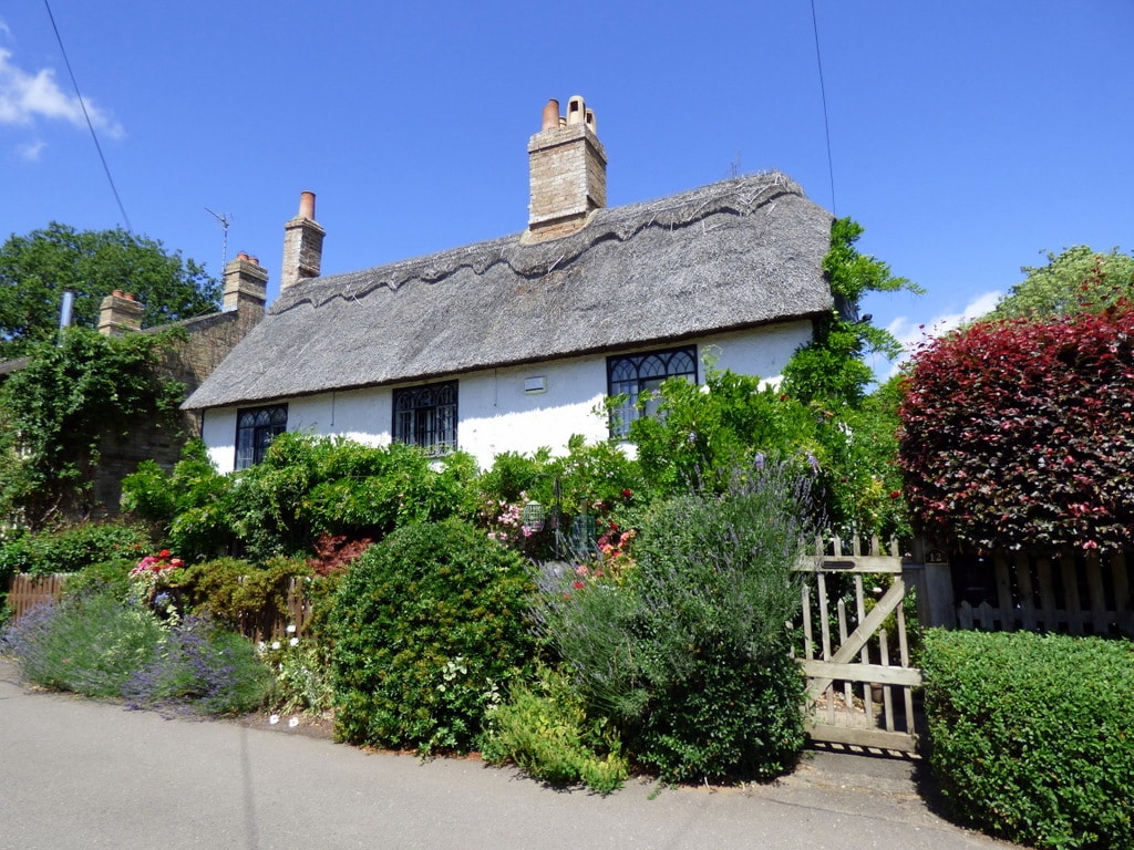
- Hemingford Abbots just happened to have its regular flower festival taking place on the day. The festival takes place every two years, so the next festival will be on 26-27Jun2027. The festival enables ticket-holders to visit numerous private gardens in the village, some of which provide teas & coffees. The church is flowered-up and, this year, we saw the remnants of Morris dancing, complete with a man dressed up as a chicken. The village centre is full of thatched-roof buildings, including one building which looked like it might once have been the village school. The flower festival is popular: a water meadow next to the village becomes a make-shift car park, which looked more than half-full.
- having crossed the river to its northern bank, we joined the Ouse Valley Way, a long-distance footpath. Today, our journey was eastbound into St Ives.
- Houghton Mill is an C18 watermill, still operational, run by the National Trust. There had always been a mill on this site for about thousand years (!), with its underlying business waxing and waning. From its peak activity in 1850s, it closed in 1928 and briefly became an attractive subject for artists to paint in the 1930s. It served as a youth hostel in from the 1930s to 1983, during which time a group of locals bought the mill from the local council and transferred it to the National Trust in 1938. The Trust opened the mill to the public in 1984.
- the walk passed by Houghton Meadows (an SSSI), now run by the Wildlife Trust for Beds, Cambs & Northants.
- The Norris Museum exhibits the history of Huntingdonshire from 160 million years ago to the present day in ~33,000 objects. Entrance to the museum is free. The museum also runs guided tours of St Ives on Sundays.
Churches:
- On the route:
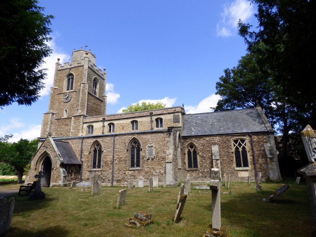
- St James, Hemingford Grey Parish Church, a church by the River Gt Ouse.
- All Saints, St Ives, Cambridgeshire. The current church was built in the late C15, with a few earlier parts retained (namely, the south aisle, dating from probably C14, resulting in a bend roof line to fit the window of the south aisle. It was the place of worship of Oliver Cromwell, at which time the interior was bare and plain (naturally). In 1890, church architect Ninian Cooper added a new screen, an organ and other decorative touches, flouncing in some churchy bling.
- St Ives Methodist Church, St Ives, Cambridgeshire.
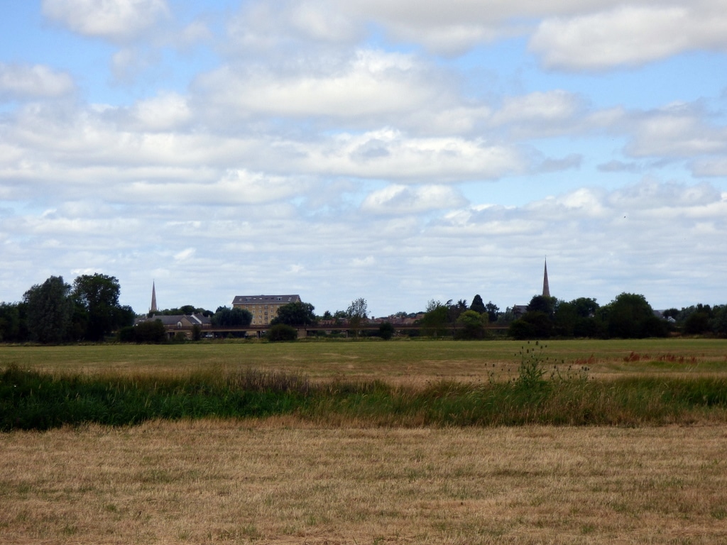
- At a distance (visible because the topology is so flat):
- St Margaret of Antioch, Hemingford Abbots Parish Church.
- St Mary The Virgin, Houghton with Wyton.
- United Reformed Free Church, St Ives, Cambridgeshire.
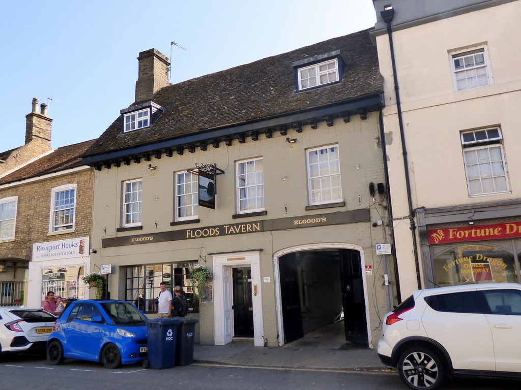
3 members attended the optional pub stop at the Flood’s Tavern, St Ives.
For more pictures, see https://bit.ly/GOCStIves062025pics .
Words by Martin Thornhill. Pictures by Peter O’Connor.
