
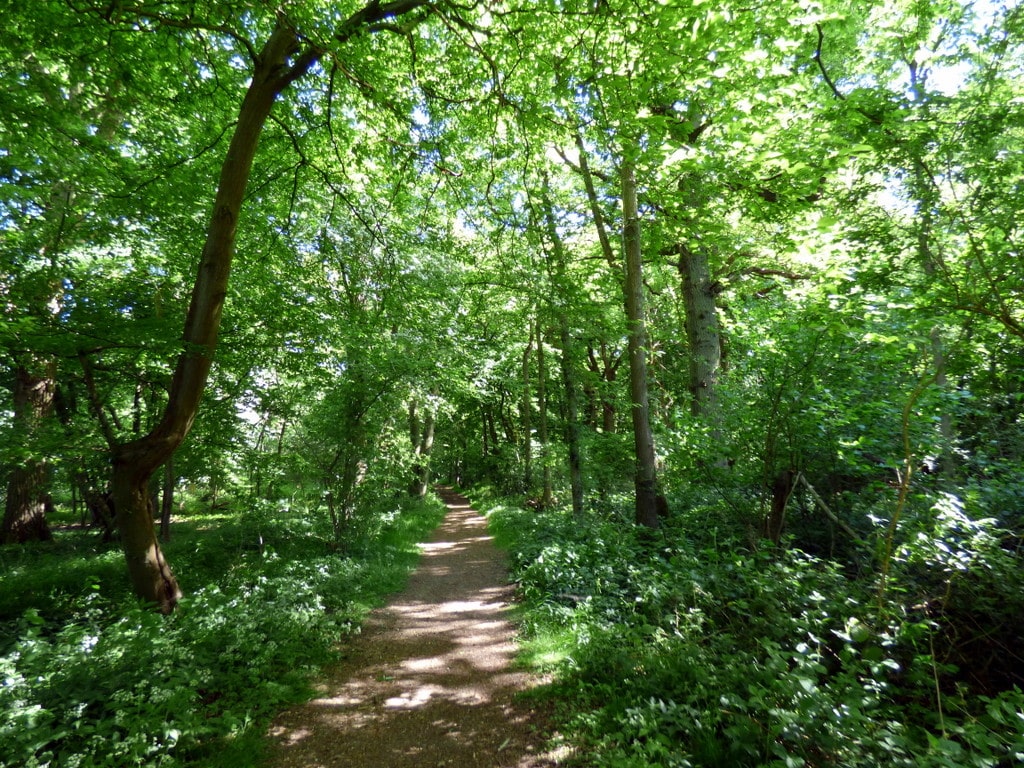
This was a circular walk of 11.5 miles from Much Hadham, E to Baker’s End, then W to Much Hadham, in total ruritania, virtually no settlements.
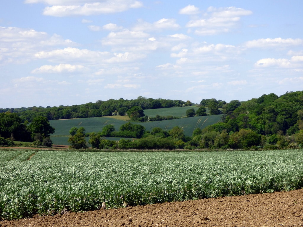
The weather was perfect walking weather, with the sunlight bringing out the best of the fresh, springtime green in both crops and trees.
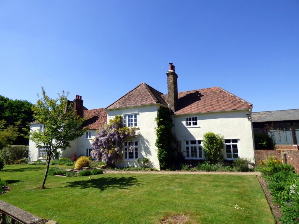
Every now-and-then, a remote house appeared in view, cosily nestled in soft folds of countryside, huddled by partial tree cover. Otherwise, grand middle-distance views into the undulating land rolled on from every turn of the route.
The usual stats:
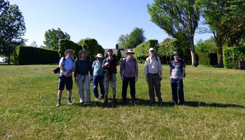
- Event led by Martin T.
- Attendance: 8 men.
- Distance: 11 miles (17.7 km).
- Altitude per GPS: low 374ft (114m), high 478ft (145.7m), climb 324ft (98.8m), descent 298ft (90.8m).
- Time: start 11:14, end 16:34 (sunset 20:39), lunch 27 minutes, other breaks 32 minutes.
- Speed: moving arithmetic average 2.53mph (4.1kph).
- Weather: clear skies, temperature up to 22°C, easterly wind ~14mph (22.5kph).
- Number of sewage works: 0.
- Number of churches: 1.
- Number of golf courses: 0.
Points of interest:
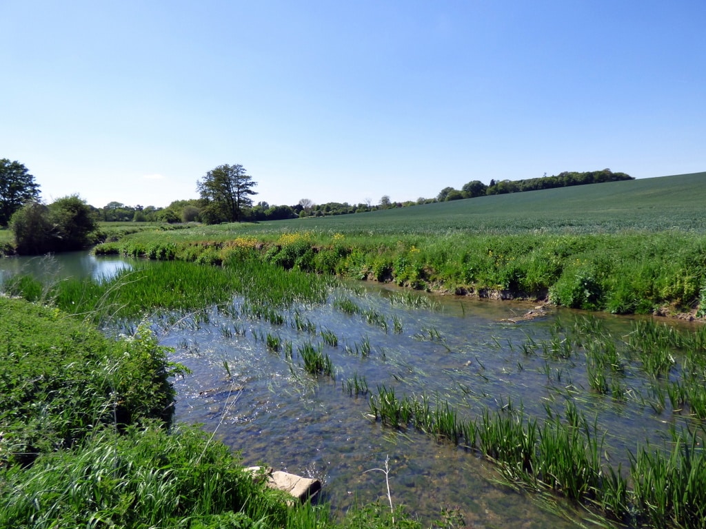
- River Rib, arises in Buckland, Herts, flows into the River Lea east of Hertford. On the river, we cross Barwick Ford. This ford has a good track record of flushing cars down the river. Images.
- A small part of the route followed part of the alignment of a disused railway, part of the old Great Eastern Route from Buntingford to St Margarets. On today’s land, the alignment is part of Cox Lane. Bizarrely, the route visited Standon and somehow by-passed (!) the villages of Much Hadham, Hadham Cross and Widford (and they wondered why there were few passengers!). This part of East Herts never developed into commuterland. The Buntingford branch opened in 1863 and closed in 1964 for passengers and 1965 for goods. RailMapOnline, Wiki.
- High Cross airstrip, designation GB-0235. Links: Conversation Trust, Metar-Taf (aviation weather report).
- Elegant old barn at Home Farm, C18, a grade II listed building for supposed historic or architectural interest, but it’s not clear why.
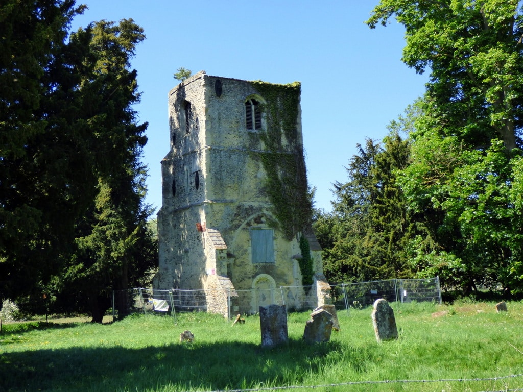
- the remaining tower of Thundridge Old Church, St Mary & All Saints, is itself a grade II* listed building and forms part of a scheduled monument, which includes its neighbouring moat. The remnants are the western tower, originating from C15. The rest of the church was demolished in 1853. This site is complementary to our walk of 14Sep2024 (Four Flavours of Herts).
- The ornate gardens of Barrow Farm are part of private residences.
- Poshisherie of Hadham Cross and Much Hadham. Many of the properties facing the High Street are listed.
The start point sat in a relatively deep valley, with an ascent of 37m over 1.75km, settled at an elevation of ~90m, then descended into the valley of the River Rib (~57m). Gradually peeling itself away from the valley, the route returned to an elevation of ~80m until the final descent to the start point.
Churches:
- Hadham Cross Congregational Church, Much Hadham, not a listed building.
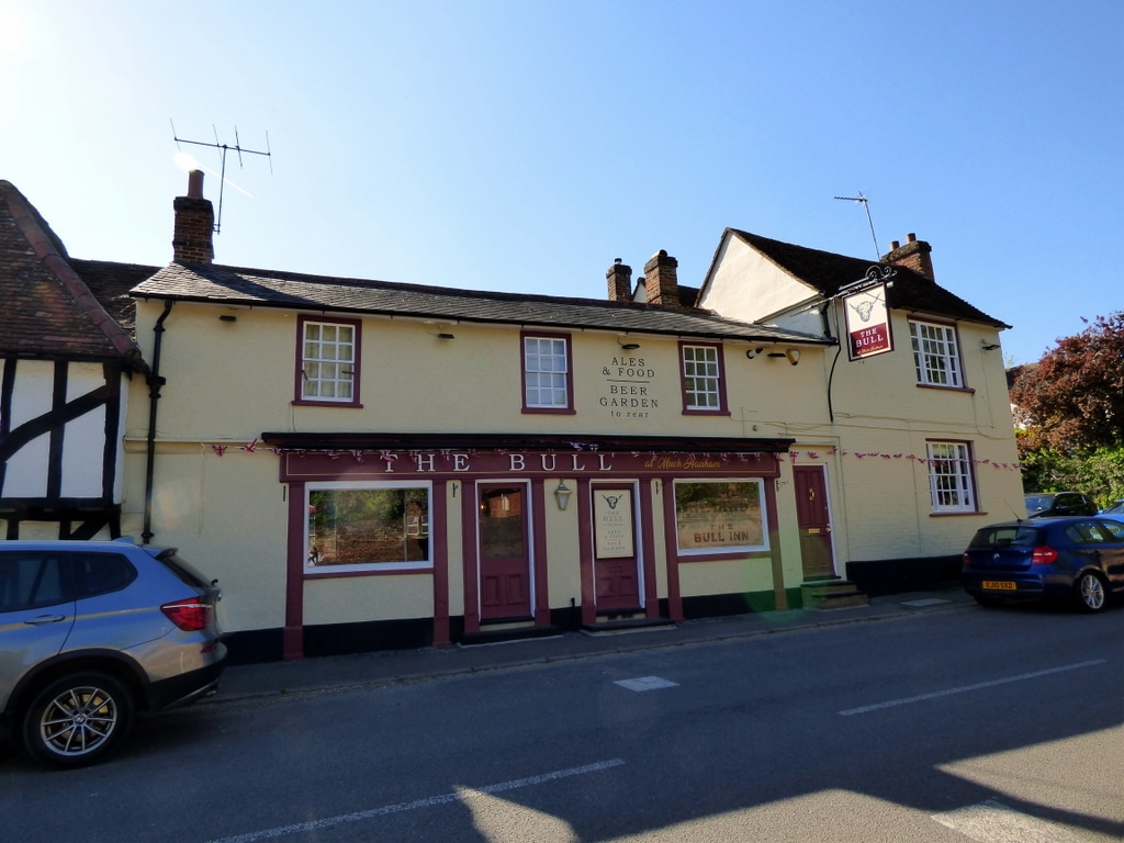
7 members attended the optional pub stop at The Bull, Much Hadham, a grade II listed building. Of them, 2 members attended the even-more optional dinner stop at the same pub.
For more pics, see https://bit.ly/GOC202505MuchHadhamPics.
Words by Martin Thornhill. Pictures by Peter O’Connor.
